What is recorded here
No amount of guessing can replace the missing camera instruction.
The following description is derived from both the published 'Archaeological Inventory of County Louth' (Dublin: Stationery Office, 1986) and the 'Archaeological Survey of County Louth' (Dublin: Stationery Office, 1991). In certain instances the entries have been revised and updated in the light of recent research.
Date of upload/revision: 17 July 2007
Sub-circular area (int. dims. 27.5m N-S, 25.5m E-W) enclosed by earth and stone bank (Wth 2.4m, H 0.3m internally, 0.5m externally) with external fosse (Wth 2m, D 0.3m). Modern external stone facing from SW-W-NW. No visible entrance. NE quadrant of interior divided off by two low earthen banks to form triangular area.
The monument record does not grant public access. Check the route and ask the landowner before entering private land.
- What survives
- Recorded monument
Places near here
 Hut site in Commons (carlingford Par.)Hut site · 268 yd
 Carlingford - Loop 1A- Commons LoopWalking route · 301 yd
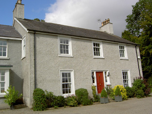 The Manserectory/glebe/vicarage/curate's house · 565 yd
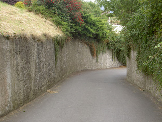 gates/railings/wallsgates/railings/walls · 661 yd
 Carlingford Heritage CentreVisitor information · 794 yd
 Graveyard in Liberties OF CarlingfordGraveyard · 811 yd
 TholselGatehouse · 839 yd
 Town GateHeritage attraction · 841 yd
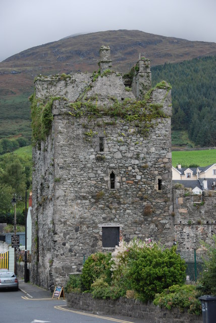 Taaffe's CastleCastle · 888 yd
 Carlingford Ogham StoneMemorial · 891 yd
 CastleCastle, tower house · 994 yd
 BarnavaveMountain / peak · 1060 yd