What is recorded here
Muddy water in one ditch, clear water in the next. That is all. The claimant must identify the dirty outflow, the clean source and the place where the two waters meet. An unknown date and a vanished boundary do not remove the duty of care.
Aerial photograph (GB90.BF.37) shows cropmarks of a series of fosses defining a field system, part of an extensive field system of uncertain date. It is plough-levelled. Largely destroyed by road construction.
Compiled by: Dr Gillian Barrett for the Archaeological Survey of Ireland
Date of upload: 26 May 2010
The monument record does not grant public access. Check the route and ask the landowner before entering private land.
- What survives
- Recorded monument
Places near here
 Field system in Commons (dromiskin Par.)Field system · 276 yd
 CastleCastle, tower house · 861 yd
 Enclosure in WhiterathEnclosure · 865 yd
 Whiterath Cottagehouse · 1051 yd
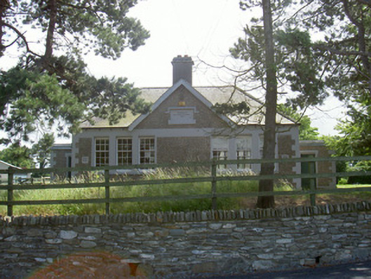 Dromiskin National Schoolschool · 1504 yd
 Viking BoatHeritage attraction · 1726 yd
 Long WoodForest · 1.4 mi
 Broad WoodForest · 1.5 mi
 Dunmahon CastleCastle, tower house · 1.7 mi
 Drummeenagh HillMountain / peak · 2.1 mi
 Photo GalleryHeritage attraction · 4.7 mi
 Bombing 1975Memorial · 5.0 mi