What is recorded here
No reliable narrative exists for this exact request. A visible cairn may be a boundary marker, a burial place, a survey point or a lost landmark. The absent record removes the chance to identify which one it is.
The Archaeological Survey of Ireland (ASI) is in the process of providing information on all monuments on The Historic Environment Viewer (HEV). Currently the information for this record has not been uploaded. To access available information for research purposes please make an appointment in advance with the Archive Unit (open Fridays 10.00 am – 5.00 pm), Department of Housing, Local Government and Heritage, The Custom House, Dublin 1 D01W6XO or email NMarchive@housing.gov.ie.
The monument record does not grant public access. Check the route and ask the landowner before entering private land.
- What survives
- Recorded monument
Places near here
 Field boundary in Curravoola,meall Na MbreacField boundary · 717 yd
 Enclosure in Meall Na MbreacEnclosure · 797 yd
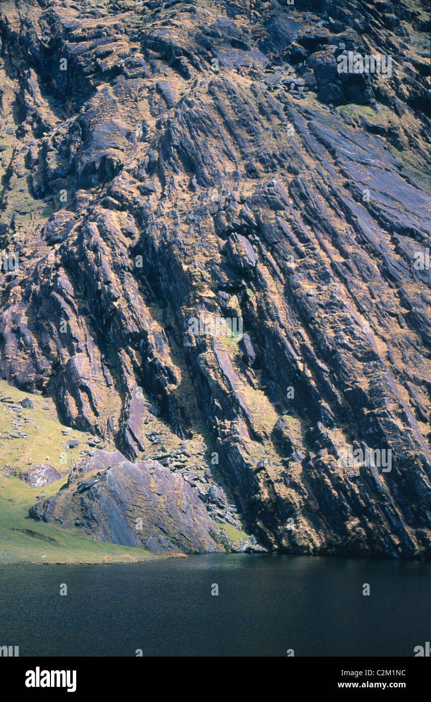 KnockmoyleMountain / peak · 1.2 mi
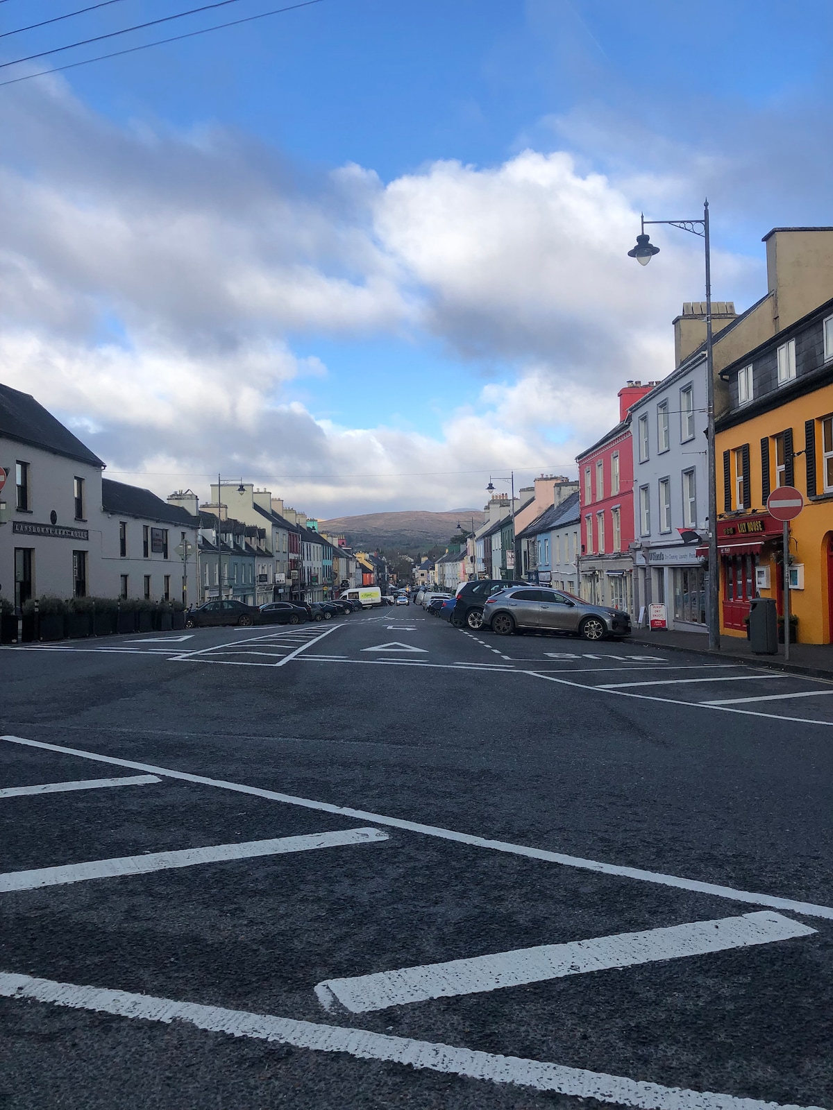 Coomura MtnMountain / peak · 1.7 mi
 RoadRoad, road/trackway · 3.9 mi
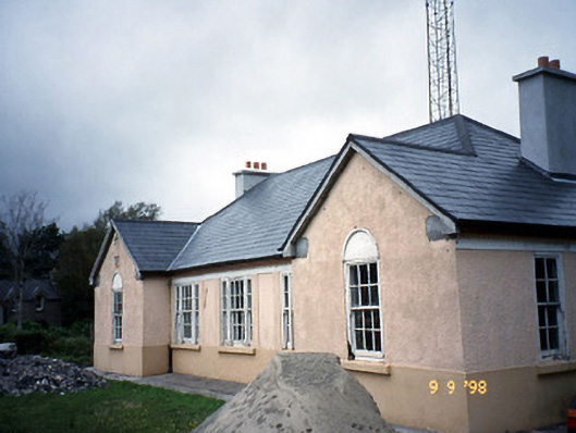 Sneem Garda Síochána Stationgarda station/constabulary barracks · 6.4 mi
 De Gaulle MemorialMonument · 6.5 mi
 Sneem Commemoration PlaqueMemorial · 6.6 mi
 Short Castle (Site of)Castle, unclassified · 7.7 mi
 GarinishIslet · 8.6 mi
 Coral BeachBeach / strand · 8.7 mi
 FeaklecallyHeadland · 8.9 mi