
What is recorded here
In rough hill grazing on bog, on a W-facing slope, overlooking the valley of the Inny River. The remains of a curvilinear stone field wall (T 0.7m; H 0.6m), which protrude above the surface of the bog, wind in a general SE direction from a SW-flowing river for c. 70m to the N side of an enclosure (KE081-052----). Many of the stone slabs are set at right angles to the line of the wall. Rubble from the collapsed upper courses is embedded in the bog on both sides of the wall. A hut site (KE081-049----) lies c. 35m to the SW.
The above description is derived from the published 'Archaeological Inventory of County Kerry. Volume I: South-West Kerry' (Dublin: Stationery Office, 2009). In certain instances the entries have been revised and updated in the light of recent research.
Date of upload: 30 May 2011
The monument record does not grant public access. Check the route and ask the landowner before entering private land.
- What survives
- Recorded monument
Places near here
 Enclosure in Meall Na MbreacEnclosure · 126 yd
 Enclosure in Lios An TsionnaighEnclosure · 1.3 mi
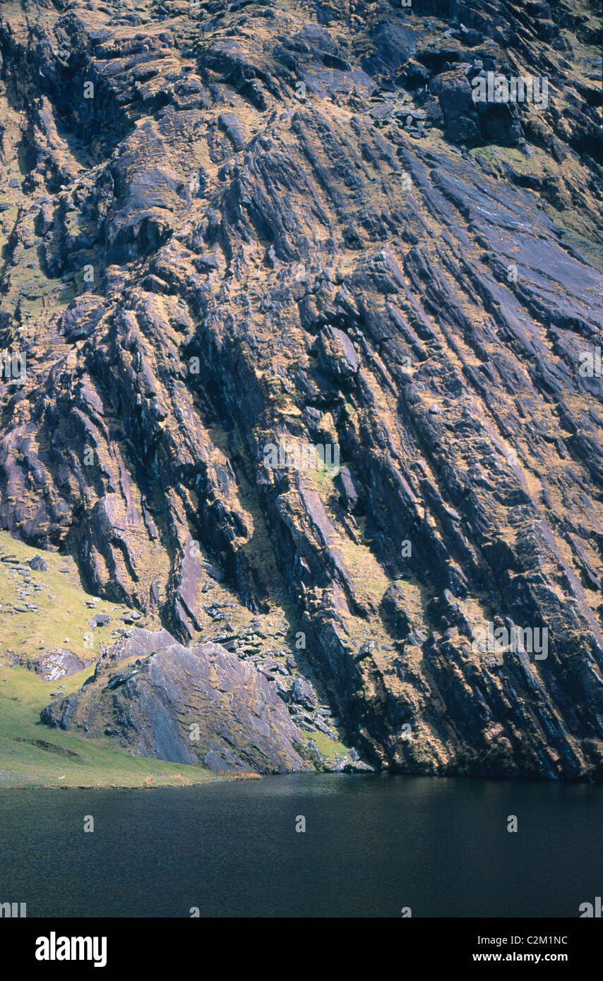 KnockmoyleMountain / peak · 1.4 mi
 Cnoc na gCáinte (mullach thiar)Mountain / peak · 1.8 mi
 RoadRoad, road/trackway · 3.9 mi
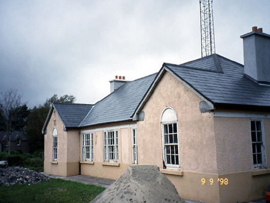 Sneem Garda Síochána Stationgarda station/constabulary barracks · 6.4 mi
 De Gaulle MemorialMonument · 6.4 mi
 Sneem Commemoration PlaqueMemorial · 6.6 mi
 Short Castle (Site of)Castle, unclassified · 7.4 mi
 Coral BeachBeach / strand · 8.5 mi
 GarinishIslet · 8.5 mi
 Soft Tree-fernSoft Tree-fern · 8.9 mi
Other information
Photo: Credit not shown in the picture search · Rights wording not checked; contact us if this picture should be removed