
What is recorded here
In boggy pasture, at the W end of an E-W ridge, overlooking the valley of the Inny River to the N. A drystone wall (T 0.6m; max. H 0.8m) follows the perimeter of a mound defining a circular area (41m N-S; 37m E-W). The stone wall, which protrudes above the surface of the bog, is composed of smallish blocky stones. There is a hut site (KE081-027001-) in the SW quadrant of the interior. Another hut site (KE081-027004-) abuts the enclosure internally at W. A subrectangular annexe (24m x 16m), defined by a stone wall (T 0.5m; H 0.55m), abuts the enclosure at the W. A relict field boundary (KE081-027003-) extends to the SE from the enclosure. A second annexe abutting the enclosure at N and a relict field boundary (KE081-027002-) extending N from the enclosure were noted in the 1990s (SMR file). These are no longer visible at ground level.
The above description is derived from the published 'Archaeological Inventory of County Kerry. Volume I: South-West Kerry' (Dublin: Stationery Office, 2009). In certain instances the entries have been revised and updated in the light of recent research.
Date of upload: 30 May 2011
The monument record does not grant public access. Check the route and ask the landowner before entering private land.
- What survives
- Recorded monument
Places near here
 Field boundary in Curravoola,meall Na MbreacField boundary · 126 yd
 Enclosure in Lios An TsionnaighEnclosure · 1.2 mi
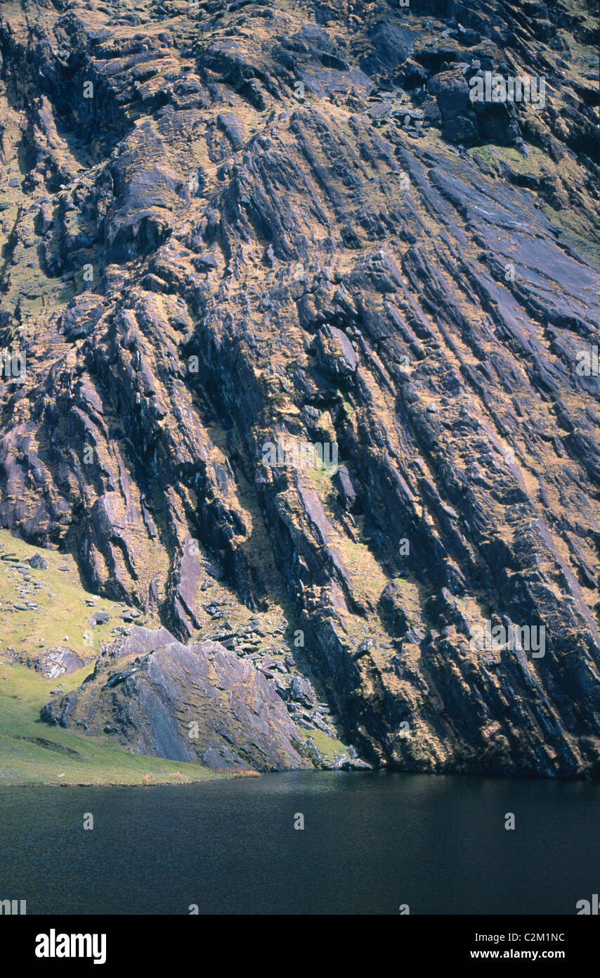 KnockmoyleMountain / peak · 1.5 mi
 Cnoc na gCáinte (mullach thiar)Mountain / peak · 1.8 mi
 RoadRoad, road/trackway · 3.9 mi
 Church in CaherlehillanChurch · 6.4 mi
 De Gaulle MemorialMonument · 6.5 mi
 Sneem Commemoration PlaqueMemorial · 6.6 mi
 Short Castle (Site of)Castle, unclassified · 7.3 mi
 Coral BeachBeach / strand · 8.6 mi
 GarinishIslet · 8.6 mi
 Soft Tree-fernSoft Tree-fern · 8.8 mi
Other information
Photo: Credit not shown in the picture search · Rights wording not checked; contact us if this picture should be removed