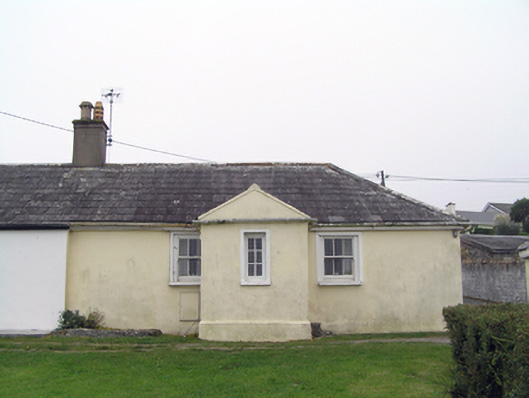
What is recorded here
End-of-terrace L-plan three-bay single-storey former coastguard station, built c. 1820, having single-bay porch with pitched slate roof to front (north-east) elevation and single-bay return to rear (south-west) of main block with pitched slate roof. Now in use as house. Hipped and pitched slate roofs with rendered chimneystack and cast-iron rainwater goods. Rendered walls. Square-headed openings throughout, having three-over-three pane timber sliding sash windows to front elevation, fixed timber window to front elevation of porch and north-west elevation. Square-headed opening with timber battened door. Three-bay single-storey outbuilding to north-west of site with pitched slate roof, rendered walls and square-headed openings. Rubble stone boundary walls to front, rear and to west of site, with square-profile and circular-profile piers.
Originally built as a coastguard station, turns its back to the street to address the sea. Forms interesting group with its neighbours. Part of the maritime history of Ballycotton. Similar in elements of design to that at Ballymacoda. Retains much heritage fabric such as windows and roof slates, adding texture and depth to slightly asymmetrical elevation.
This does not grant access. Most recorded buildings are privately owned; view them only from public ground unless the owner allows entry.
Places near here
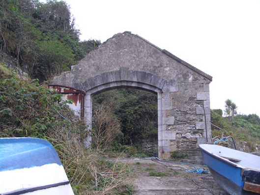 boathouseboathouse · 35 yd
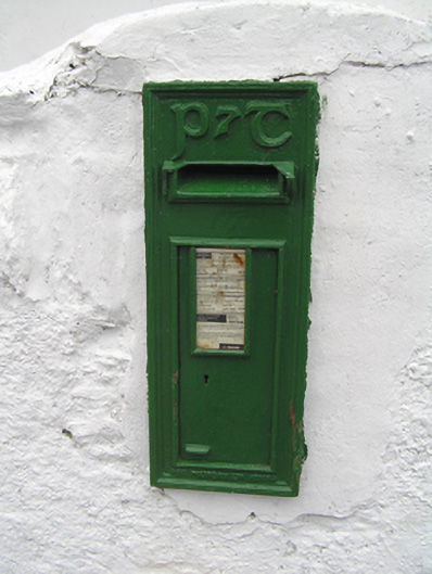 post boxpost box · 78 yd
 P.N.L.B. Mary StandfordWreck · 382 yd
 Mary StandfordMemorial · 399 yd
 Promontory fortPromontory fort, coastal · 456 yd
 Ballycotton Island (Small)Islet · 625 yd
 Ch (Site of)Church · 750 yd
 Ballycotton IslandIslet · 1437 yd
 Garryvoe BeachBeach / strand · 1.7 mi
 Garryvoe Castle (in Ruins)Castle, tower house · 3.1 mi
 Castle (in Ruins)Castle, tower house · 3.4 mi
 Ballycroneen BeachBeach / strand · 4.8 mi
Other information
Photo: National Inventory of Architectural Heritage · Website use allowed for educational or private purposes with source credit