
What is recorded here
Mnemo is the name, Promontory fort the shape, and a coastal ridge in County Cork the address. Whether it guarded a shore road, marked a boundary, or simply watched the sea, people built it where land narrows and water closes. Its stones still point outward, doing what forts do: holding attention at the edge of the known.
The Archaeological Survey of Ireland (ASI) is in the process of providing information on all monuments on The Historic Environment Viewer (HEV). Currently the information for this record has not been uploaded. To access available information for research purposes please make an appointment in advance with the Archive Unit (open Fridays 10.00 am – 5.00 pm), Department of Housing, Local Government and Heritage, The Custom House, Dublin 1 D01W6XO or email NMarchive@housing.gov.ie.
The monument record does not grant public access. Check the route and ask the landowner before entering private land.
- What survives
- Recorded monument
Places near here
 P.N.L.B. Mary StandfordWreck · 97 yd
 Mary StandfordMemorial · 102 yd
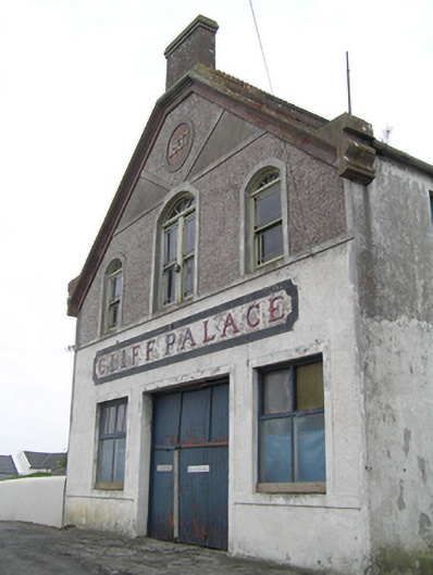 Cliff Palaceballroom/dance hall/disco · 414 yd
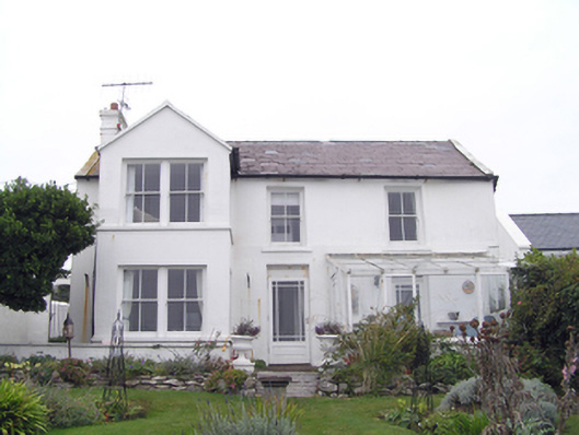 Strand Househouse · 432 yd
 Ch (Site of)Church · 838 yd
 Ballycotton Island (Small)Islet · 869 yd
 Enclosure in BallycottonEnclosure · 902 yd
 Ballycotton IslandIslet · 1677 yd
 Garryvoe BeachBeach / strand · 1.9 mi
 Garryvoe Castle (in Ruins)Castle, tower house · 3.3 mi
 Castle (in Ruins)Castle, tower house · 3.7 mi
 Ballycroneen BeachBeach / strand · 4.7 mi
Other information
Photo: Credit not shown in the picture search · Rights wording not checked; contact us if this picture should be removed