What is recorded here
Thirty-five feet of flat upland still hold a broken circle, its shallow ditch and faint bank barely visible beneath grass and forgetting. The shape resists measurement because much of it has vanished, yet the remaining curve suggests a place where people once drew a line between inside and outside. What happened within that line has not survived to be recorded.
Located on flat land in an upland area. Poorly preserved circular platform (diam 40m N-S; ext. H 1m) delimited by a fosse (Wth 2m) which is badly disturbed especially at S with external bank (Wth 3.7m; ext. H 0.5m) visible at N only. No visible entrance feature. Possible ringfort. Aerial photographs (Air Corps 714/5) shows cropmark of conjoined circular enclosure to the W.
The above description is derived from the published 'Archaeological Inventory of County Offaly' (Dublin: Stationery Office, 1997). In certain instances the entries have been revised and updated in the light of recent research.
Date of upload: 23 May 2011
The monument record does not grant public access. Check the route and ask the landowner before entering private land.
- What survives
- Recorded monument
Places near here
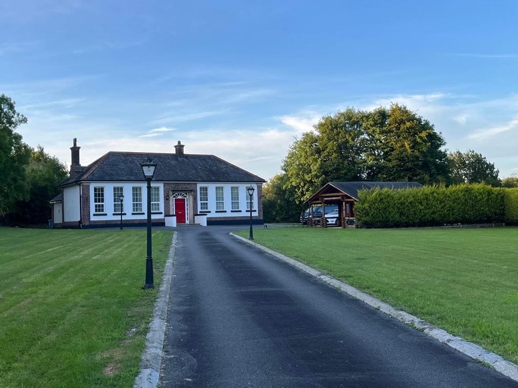 Enclosure in Coagh LowerEnclosure · 485 yd
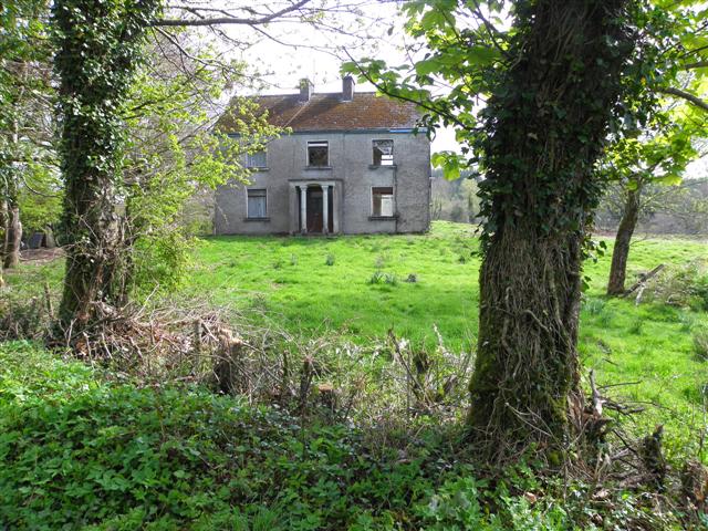 Enclosure in Garrysallagh GlebeEnclosure · 502 yd
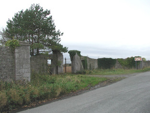 Thomastown Parkwalled garden, outbuilding, demesne walls/gates/railings · 1634 yd
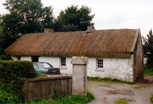 farm housefarm house · 1682 yd
 Bawn in Annaghmore AND AnnaghbegBawn · 1.7 mi
 CastleCastle, tower house · 1.7 mi
 Knockbarron WoodForest · 2.0 mi
 Derrykeel WoodWood · 3.3 mi
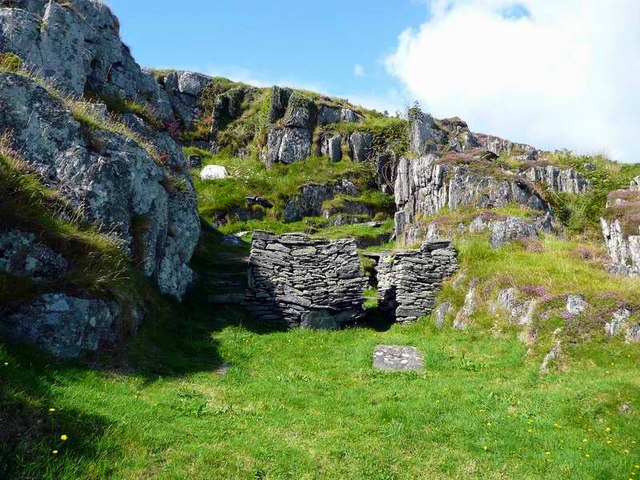 Saint Cormac's WellSpring · 3.5 mi
 Waypoint 1Visitor information · 3.8 mi
 Castletown and GlinskVisitor information · 3.9 mi
 Saint Dominick's WellSpring · 4.1 mi