What is recorded here
Cnocán an Bhraga rises eight metres above the Clare River flood plain, a steep grass-covered oval spanning thirty-four metres that defies easy belief. Quarrying at its northeast edge exposed a tangled matrix of boulders and gravel, suggesting nature built the foundation before human hands shaped the top. The distinction barely matters when standing on its level summit, because the river valley stretches in every direction and the boundary between made and born dissolves into the horizon.
Just above the flood plain to S of the Clare River. This monument consists of a large grass-covered oval cairn (NE-SW 34m, NW-SE 21m, H 8m) with very steep sides and a level area on top. Quarrying at NE reveals a matrix of large and small boulders and gravel, suggesting that it may be partly natural.
The above description is derived from the published 'Archaeological Inventory of County Galway Vol. II - North Galway'. Compiled by Olive Alcock, Kathy de hÓra and Paul Gosling (Dublin: Stationery Office, 1999).
Date of upload: 05 August 2010
A Neolithic passage tomb; significant as a large, well-preserved cairn with evidence of internal structure revealed through partial quarrying.
The monument record does not grant public access. Check the route and ask the landowner before entering private land.
- What survives
- Recorded monument
Places near here
 IndicatedEnclosure · 385 yd
 Corrofin CastleCastle · 572 yd
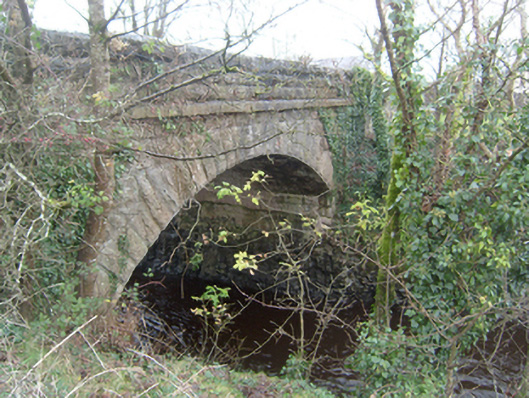 Corrofin Bridgebridge · 684 yd
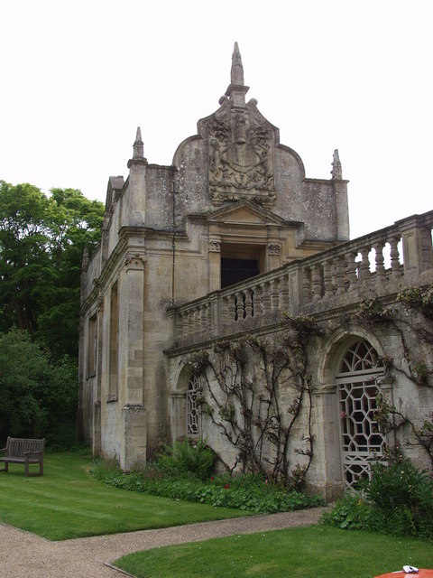 Old R.C. ChapelChapel · 794 yd
 Castle (in ruins)Castle, tower house · 1217 yd
 Field system in CarheenshowaghField system · 1.1 mi
 Common WhitebeamCommon Whitebeam · 4.3 mi
 SycamoreSycamore · 4.4 mi
 Kilcoona Round TowerHeritage attraction · 6.8 mi
 Mass RockNamed rock · 7.0 mi
 Ballinduff BayBay · 8.0 mi
 Oileán an AoilIsland · 9.8 mi