
What is recorded here
Grave Yard in County Leitrim holds a triangular church and an ogham stone at its north point. Its boundary stretched northeast before 1995 when one side disappeared, giving more room for the dead and perhaps more room for memory. The place still leans west on a gentle rise, waiting for rain, footsteps and the kind of quiet that makes ordinary stones sound like they are answering back.
Located on a rise which is on a gentle W-facing slope. The church (LE037-004001-) is within a triangular graveyard (dims c. 75m NE-SW; c. 60m NE-SW) defined by a masonry wall adjacent to the NNE-SSW roadside at W but by a stone-faced scarp and hedge on the S side. The graveyard was extended to the NE before 1995 (OSAP) when the boundary on this side was removed. There is an ogham stone (LE037-004003-) at the N apex of the old graveyard.
Compiled by: Michael Moore
Date of upload: 7 January 2020
The monument record does not grant public access. Check the route and ask the landowner before entering private land.
- What survives
- Recorded monument
Places near here
 Church (in Ruins)Church · 14 yd
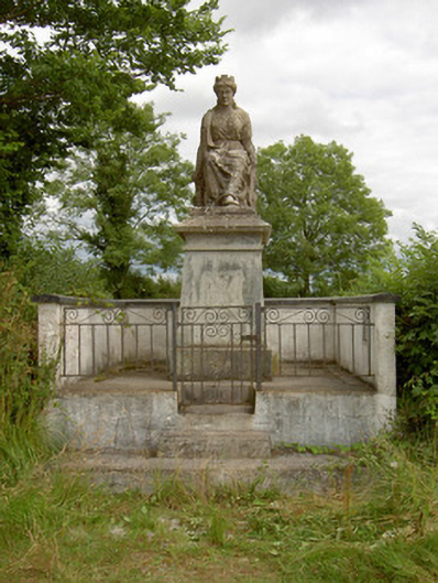 monumentmonument · 1362 yd
 StructureStructure, peatland · 1576 yd
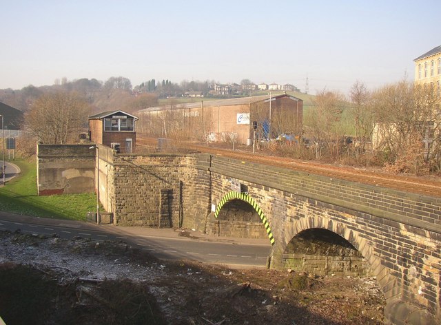 PlatformPlatform, peatland · 1600 yd
 Rabbit IslandIslet · 2.0 mi
 Long IslandIslet · 2.3 mi
 CastleCastle, unclassified · 2.5 mi
 St. Barry's WellSpring · 3.1 mi
 Bawn in Castleforbes DemesneBawn · 3.3 mi
 Lebanon CedarLebanon Cedar · 3.3 mi
 Cavan & Leitrim RailwayMuseum · 3.4 mi
 Common LimeCommon Lime · 3.6 mi
Other information
Photo: Davidcorry200 · CC BY-SA 4.0