What is recorded here
Quarrying bit through the eastern banks of Cloonigny, leaving a scarped mound where human hands once shaped the ridge. The oval fort still holds its width across the grassland, but the eastern edge has become a wound in the earth. What remains is a bruised outline, half swallowed by extraction, yet wide enough to suggest the shape of a life lived there before the machines arrived.
On a ridge in undulating grassland. Poorly preserved oval rath (E-W 45m, N-S 30m) defined by two banks and an intervening fosse. Quarrying has encroached upon the enclosing elements from NE through E to SE, where an irregularly shaped scarped upcast mound remains. A field boundary cuts the monument at NE and SE.
The above description is derived from the published 'Archaeological Inventory of County Galway Vol. II - North Galway'. Compiled by Olive Alcock, Kathy de hÓra and Paul Gosling (Dublin: Stationery Office, 1999).
Date of upload: 05 August 2010
The monument record does not grant public access. Check the route and ask the landowner before entering private land.
- What survives
- Recorded monument
Places near here
 Site of Cloonigny CastleCastle, unclassified · 426 yd
 Lisna- geeraghFairy fort / ringfort · 893 yd
 Barnavihall Ho.Country house · 1.0 mi
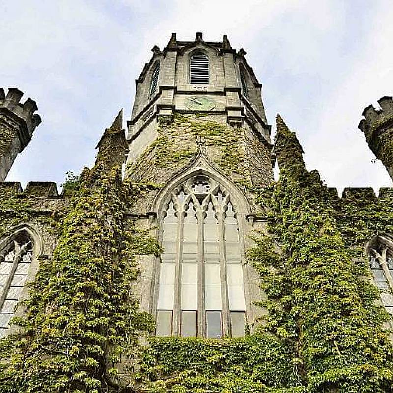 Enclosure in BarnavihallEnclosure · 1.1 mi
 Ballynabanaba CastleCastle, tower house · 1.3 mi
 European ashEuropean ash · 1.4 mi
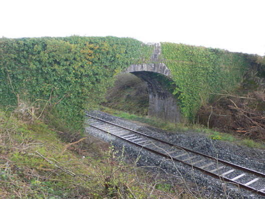 bridgebridge · 1.5 mi
 Kilconnell AbbeyHeritage attraction · 2.7 mi
 Oak WoodWood · 3.2 mi
 Battle of Aughrim Interpretative CentreMuseum · 4.1 mi
 Battle of AughrimMajor battlefield · 4.7 mi
 Clooncoran IslandIsland · 4.8 mi