What is recorded here
Three pieces of brushwood (diam. 0.04m) extended diagonally into the bog at varying angles (exposed area 0.5 x 0.5m). Two were orientated NE-SW, with the third aligned at right angles. No toolmarks were visible though the pieces of brushwood were likely to have worked ends that were driven into the bog. The evidence suggested that this may well have been the last remnants of a possible platform. (Dunne 1999, 42, 99DD0006A)
Compiled by: Mary Tunney based on data supplied by Jane Whitaker, Archaeological Development Services.
Date of upload: 26 August 2011
The monument record does not grant public access. Check the route and ask the landowner before entering private land.
- What survives
- Recorded monument
Places near here
 PlatformPlatform, peatland · 24 yd
 RoadRoad, class 1 togher · 101 yd
 Big FortFairy fort / earthen ringfort · 489 yd
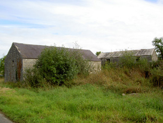 mill (water)mill (water) · 1.2 mi
 Commons North WalkVisitor information · 2.9 mi
 Wild birdsVisitor information · 2.9 mi
 White Sand WoodWood · 2.9 mi
 Rathcline CastleBawn · 3.3 mi
 Ballyclare IslandIslet · 3.4 mi
 Graveyard in Curry (ardagh By., Coolamber Ed)Graveyard · 4.4 mi
 Caltragh CastleCastle, unclassified · 4.7 mi
 Goat's IslandIslet · 4.9 mi