
What is recorded here
This togher (L 420m; Wth 2.2m), generally orientated E-W, was visible across 28 fields. The remains were largely on the field surface and had been milled. They were mostly evident as a band of wood chips and degraded timbers with some displaced timbers in the drains. At one point they were visible in the drain face at a depth of 0.28m (Dunne 1999, 40, 99DD0001A-Y). The togher may still be intact under the milled surface in other areas but this was not clear. It was constructed of quite thin oak planks and split timbers (L 1.9m max.; Wth 0.10-0.30m; T 0.02-0.10m), roundwood (diam. 0.07-0.08m), brushwood (diam. 0.01-0.055m) and twigs. Most of the elements were aligned longitudinally but many split timbers, roundwood and brushwood transverses were also in evidence. Longitudinal planks were laid side-by-side and covered by a dense brushwood layer. Occasional pegs, including a squared example, were present. Excavation revealed the remains to be composed of oak-split planks laid longitudinally and supported by transverse split planks and roundwood held in place by pegs (Dunne 2002a, 203).
Compiled by: Mary Tunney based on data supplied by Jane Whitaker, Archaeological Development Services.
Date of upload: 26 August 2011
The monument record does not grant public access. Check the route and ask the landowner before entering private land.
- What survives
- Recorded monument
Places near here
 PlatformPlatform, peatland · 105 yd
 Big FortFairy fort / earthen ringfort · 572 yd
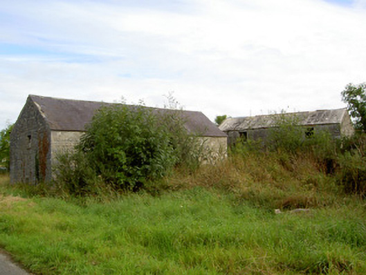 mill (water)mill (water) · 1.1 mi
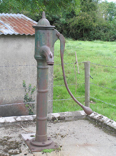 water pumpwater pump · 1.8 mi
 Commons North WalkVisitor information · 2.9 mi
 Wild birdsVisitor information · 2.9 mi
 White Sand WoodWood · 3.0 mi
 Rathcline CastleBawn · 3.4 mi
 Ballyclare IslandIslet · 3.4 mi
 Graveyard in Curry (ardagh By., Coolamber Ed)Graveyard · 4.3 mi
 Caltragh CastleCastle, unclassified · 4.7 mi
 Goat's IslandIslet · 4.9 mi
Other information
Photo: Credit not shown in the picture search · Rights wording not checked; contact us if this picture should be removed