What is recorded here
Indicated is a circular crannog in deep water at the southwest end of Clooncorick Lough, County Leitrim. Radiocarbon dating places its timber work between AD 1298 and 1400, when people lived above the lake rather than beside it. The island still stands eighteen metres across, ringed by broken beams that once kept out water, wolves and curiosity. A modern bridge crosses to it now, turning medieval distance into a short walk.
Located in deep water towards the SW end of Clooncorick Lough, a subrectangular lake (dims c. 550m NE-SW; c. 140-250m NW-SE), which is slightly smaller than its representation on the 1835 edition of the OS 6-inch map. This is an overgrown, circular, steep-sided, earth and stone island (diam. 17.5m; H 1.5m) surrounded by many interlocking timber beams, both upright and prone. The island has been disturbed in places by fishermen's piers, and it is connected to the shore by a modern wooden bridge. A log boat was observed in the water at this crannog when the water level was extremely low (Kane 1885-6, 408). A programme of radiocarbon dating undertaken by the Discovery Programme produced a date of 610 +- 20 BP (AD 1298-1400) from wood taken from the crannog (O’Conor and Fredengren 2019, 91).
The above description is derived from 'The Archaeological Inventory of County Leitrim' compiled by Michael J. Moore (Dublin: Stationery Office, 2003). In certain instances the entries have been revised and updated in the light of recent research.
Compiled by: Michael Moore
Date of revised revised upload: 30 December 2019
O’Conor, K. and Fredengren, C. 2019 Medieval settlement in Leitrim, c. 1169-c. 1380. in In Kelly, L. and Scott, B. Leitrim: History and Society, 79-101. Dublin, Geography Publications
The monument record does not grant public access. Check the route and ask the landowner before entering private land.
- What survives
- Recorded monument
Places near here
 King's GraveArchaeological place · 630 yd
 Mass-rock in Annagh (carrigallen By.)Mass-rock · 716 yd
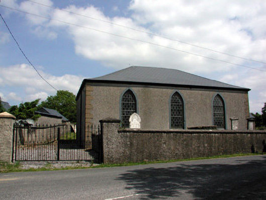 Carrigallen Presbyterian Churchchurch/chapel · 1201 yd
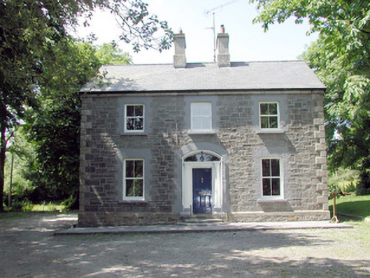 The Mansemanse · 1394 yd
 European YewEuropean Yew · 1.2 mi
 Pedunculate OakPedunculate Oak · 1.2 mi
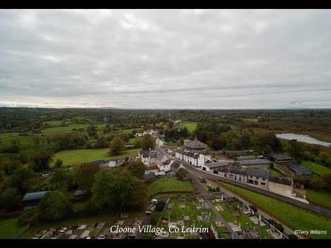 Enclosure in DrumhalryEnclosure · 1.3 mi
 DrumbreanlisMountain / peak · 1.5 mi
 DrummuckerMountain / peak · 2.5 mi
 Crane IslandIslet · 4.7 mi
 BatteryBawn · 4.7 mi
 Killeshandra Irish Countrywomen's Association 70th AnniversaryMemorial · 4.8 mi