What is recorded here
Fort View house still stands beside the buried fort in Cloonbannin East, where a twenty-five metre earthen ring keeps its southern entrance and eastern well. The land has been farmed for generations, yet the bank, ditch and hidden passage remain beneath the overgrowth. People may have lived there before the fields came, but the earth has taken most of their names and details.
In tillage, to SW of Fort View house. Circular area (diam. c. 25m) enclosed by earthen bank (int. H 2.25m; ext. H 0.8m) to W and N with external fosse (D 1.2m); scarp (H 1.3m) elsewhere. Entrance (Wth 2.6m) to S. Well at base of scarp to E. Possible Man-made underground passage (CO030-10902-) in NE quadrant. Enclosure heavily overgrown.
The above description is derived from the published 'Archaeological Inventory of County Cork. Volume 4: North Cork' (Dublin: Stationery Office, 2000). In certain instances the entries have been revised and updated in the light of recent research.
Date of upload/revision: 14 January 2009
The monument record does not grant public access. Check the route and ask the landowner before entering private land.
- What survives
- Recorded monument
Places near here
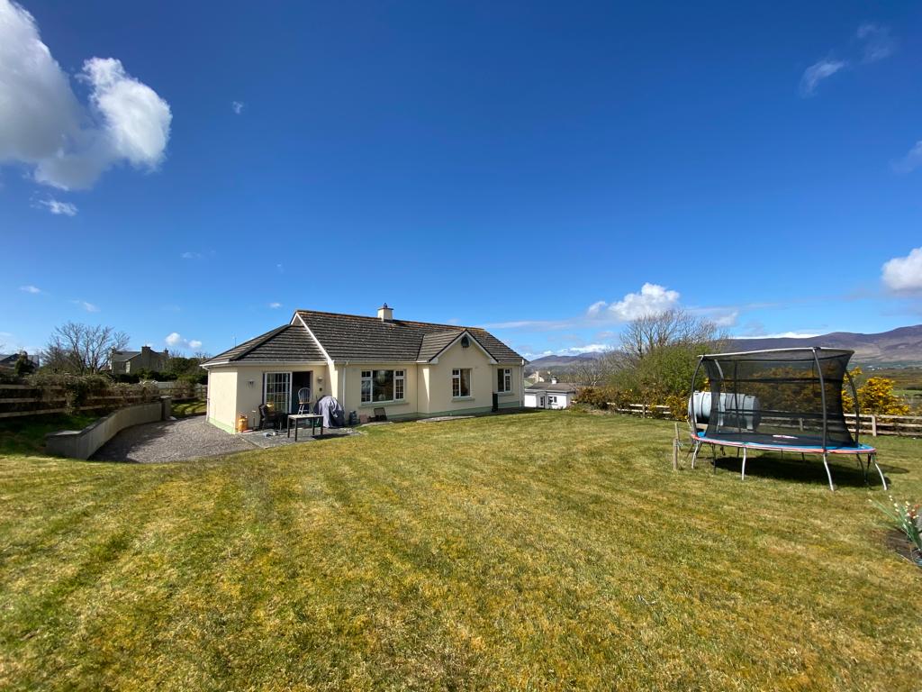 Man-made underground passage in Cloonbannin EastMan-made underground passage · 1 yd
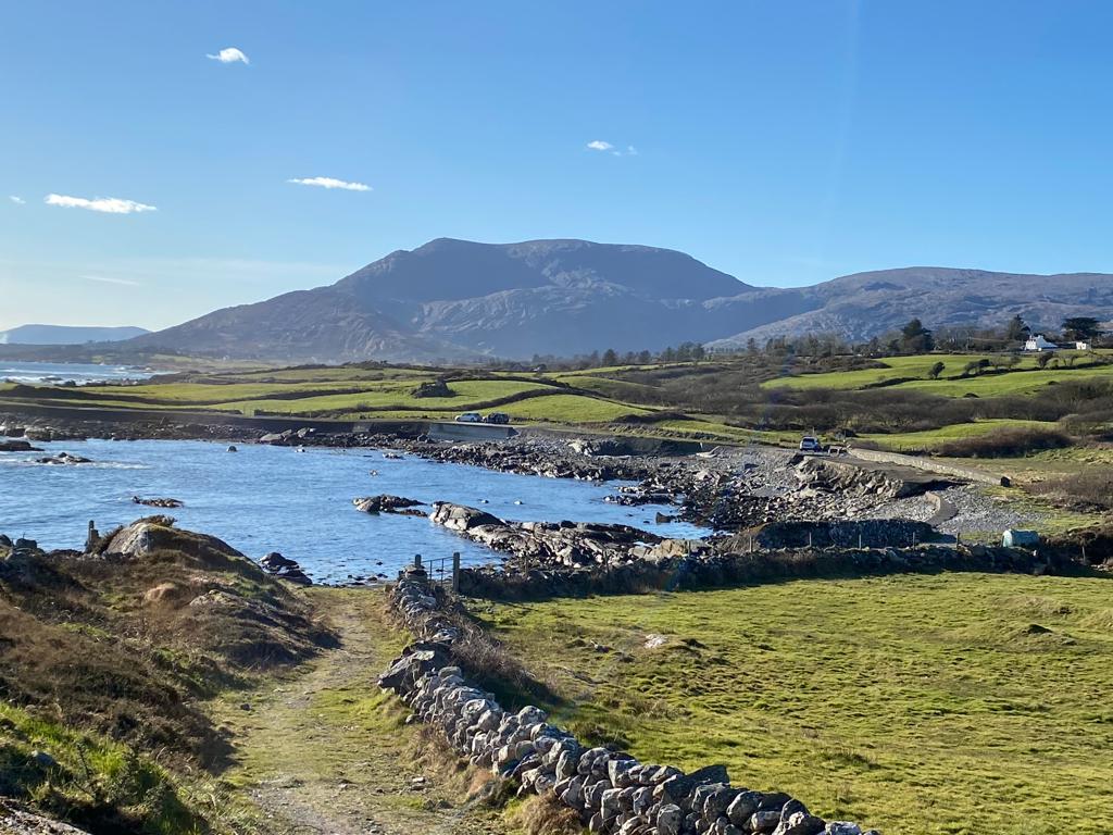 Man-made underground passage in Island-DahillMan-made underground passage · 783 yd
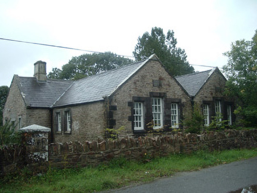 Old School Houseschool · 847 yd
 IndicatedHouse, vernacular house · 953 yd
 Drominagh Castle (Site of)Castle, unclassified · 1142 yd
 Castle (Site of)Bawn · 2.3 mi
 Rathcool WoodWood · 3.2 mi
 Battle of Knocknaclashybattle · 3.3 mi
 Millstreet Tourist InformationVisitor information · 5.0 mi
 St. Patrick's ChurchVisitor information · 5.0 mi
 Millstreet Museum & Tourist Information CentreMuseum · 5.0 mi
 Kanturk CastleHeritage attraction · 5.8 mi