What is recorded here
Fairy fort in Cloonbannin East is a 28-metre earthen ring on a sharp ridge in County Cork. Its west and north scars still stand 1.3 metres high, while a quarry has bitten into the east side. A hidden passage may still run beneath the west half, waiting for someone brave enough to listen for breath inside the dark earth.
In pasture, atop ridge with sharp fall of ground to N. Depicted as hachured circular enclosure (diam. c. 28m) on 1842, 1904 and 1937 OS 6-inch maps. Roughly circular area (diam. 28.2m) defined by scarp (H 1.3m) to W and N with slight internal lip (H 0.2m) to W. Quarry extends into interior on E side. Possible Man-made underground passage (CO030-243---) in W half.
The above description is derived from the published 'Archaeological Inventory of County Cork. Volume 4: North Cork' (Dublin: Stationery Office, 2000). In certain instances the entries have been revised and updated in the light of recent research.
Date of upload/revision: 14 January 2009
A fairy fort / earthen ringfort in Cloonbannin East is a roughly circular early-medieval defensive or domestic site, likely dating to between the 5th and 10th centuries AD. It is associated with local folklore regarding fairy activity, common in such sites across Ireland.
The monument record does not grant public access. Check the route and ask the landowner before entering private land.
- What survives
- Recorded monument
Places near here
 Man-made underground passage in Cloonbannin EastMan-made underground passage · 1 yd
 Fulacht fia in Cloonbannin WestFulacht fia · 723 yd
 IndicatedHouse, vernacular house · 1147 yd
 Drominagh Castle (Site of)Castle, unclassified · 1501 yd
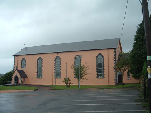 Church of the Presentation of Our Ladychurch/chapel · 1686 yd
 Castle (Site of)Bawn · 2.8 mi
 Battle of Knocknaclashybattle · 3.9 mi
 Rathcool WoodWood · 3.9 mi
 Kanturk CastleHeritage attraction · 6.0 mi
 RowanRowan · 6.2 mi
 St Fursey's WellSpring · 7.0 mi
 Mount Hillary - Knightfield LoopWalking route · 7.9 mi