What is recorded here
In rough, wet pasture, in a flat-bottomed N-S valley. One of several fulachtaí fia and burnt mounds which occur over a distance of 1.5km along the base of the valley. A roughly circular, flat spread (diam. c. 15m) of burnt stone and charcoal. At the time of visit in 1994 it was exposed beneath a sparse covering of sod and appeared to have been recently levelled. A layer of burnt stone and charcoal (D 0.5m) was also visible in the section of a drain which clips the NW of the mound. There is a burnt mound (SL019-253----) 15m to NW, and a burnt mound (SL019-254----) 8m to SE.
Compiled by: Jane O'Shaughnessy
Date of upload: 12 May 2011
The monument record does not grant public access. Check the route and ask the landowner before entering private land.
- What survives
- Recorded monument
Places near here
 Enclosure in CloonakeemogeEnclosure · 493 yd
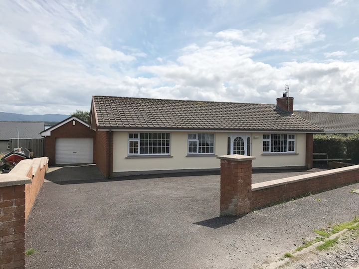 Hut site in BunnafediaHut site · 719 yd
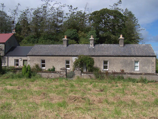 The Swallow Loftchurch/chapel · 974 yd
 Giant's GraveArchaeological place · 976 yd
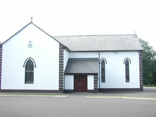 Catholic Church of Saint Peter and Saint Paulchurch/chapel · 988 yd
 Bawn in Longford DemesneBawn · 1591 yd
 European ashEuropean ash · 1.0 mi
 Pigeonpark WoodForest · 1.1 mi
 CastleCastle, ringwork · 1.4 mi
 Lahanacappul IslandIslet · 1.5 mi
 Ballinlig PointHeadland · 1.7 mi
 Portavaud PointHeadland · 1.9 mi