What is recorded here
In wet pasture, in a flat-bottomed N-S valley. One of several fulachtaí fia and burnt mounds which occur over a distance of 1.5km along the base of the valley. A layer (L c.12m NE-SW; D 0.7m) of burnt stone and charcoal is visible beneath a sod layer (D 0.2m) in the N-facing section of a field drain which flanking the S side of a NE-SW field wall/townland boundary. It is possible that this mound and a burnt mound (SL019-252----) located on a rise a few meters to S form parts of a single monument.
There is a fulacht fia (SL019-248----) 10m to N.
Compiled by: Jane O'Shaughnessy
Date of upload: 12 May 2011
Burnt mound in Cloonakeemoge is a fulacht fia, dating to the Early to Middle Bronze Age. It is significant as part of a cluster of similar features, indicating sustained prehistoric activity in the valley, likely related to cooking, hide-scalding, or ritual practices.
The monument record does not grant public access. Check the route and ask the landowner before entering private land.
- What survives
- Recorded monument
Places near here
 Enclosure in CloonakeemogeEnclosure · 521 yd
 Hut site in BunnafediaHut site · 698 yd
 Giant's GraveArchaeological place · 951 yd
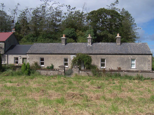 The Swallow Loftchurch/chapel · 984 yd
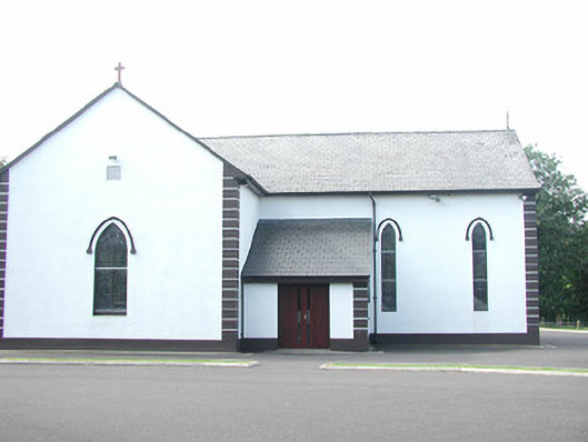 Catholic Church of Saint Peter and Saint Paulchurch/chapel · 1005 yd
 Bawn in Longford DemesneBawn · 1594 yd
 European ashEuropean ash · 1.0 mi
 Pigeonpark WoodForest · 1.1 mi
 CastleCastle, ringwork · 1.4 mi
 Lahanacappul IslandIslet · 1.5 mi
 Ballinlig PointHeadland · 1.7 mi
 Portavaud PointHeadland · 1.9 mi