
What is recorded here
Clonnageeragh is a quarried mound on wet Westmeath marshland, possibly a damaged motte and bailey or an older burial place. It stands beside a wayside cross, a lost stone bridge, and Fore Abbey, suggesting a busy threshold between fields, water, and prayer. People may have built, buried, or taken stones from it across centuries, changing its shape but not its presence. The mound still marks the edge of a low ridge where human life kept returning to the same dangerous ground.
Mound situated at SW end of low ridge running SW-NE on wet marshy land with stream immediately to SW. Wayside cross (WM004-025----) 50m to NE, Knocknamonaster earthwork (WM004-035011-) and site of stone bridge as depicted on 1837 ed. OS 6-inch map 50m to SW, Fore Abbey (WM004-035010-) 255m to SW. Classification of this monument is difficult due to the poor condition of the mound caused by quarrying. Present remains consist of a poorly preserved steep sided flat-topped earth and stone mound that appears to have been partially quarried into in the post-medieval period. There are several depressions in the side of the mound which appear to be the result of quarrying. On the NE side of the mound there is a flat elevated area partially damaged by quarrying and now covered in scrub bushes which may represent the remains of a bailey area. Low grass-covered linear earthwork running SW-NE visible in field immediately N of mound appear to be the remains of a field system of uncertain antiquity. It is possible that this mound may be the remains of a badly damaged prehistoric burial mound or barrow rather than the remains of a possible motte and bailey. Not depicted as an antiquity on the 1837 ed. OS 6-inch map.
WM004-029----_06.jpeg Profile section of mound as drawn by Archaeological Survey of Ireland based in Co. Westmeath c. 1970s.
Compiled by: Caimin O’Brien
Date of upload: 14 April 2015
The monument record does not grant public access. Check the route and ask the landowner before entering private land.
- What survives
- Recorded monument
Places near here
 CrossCross, Wayside cross · 169 yd
 OutlinedGatehouse · 307 yd
 Fore AbbeyHeritage attraction · 323 yd
 European ashEuropean ash · 474 yd
 St Feichin's MillHeritage attraction · 573 yd
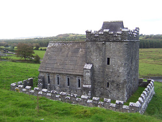 Greville-Nugent Mausoleummausoleum · 675 yd
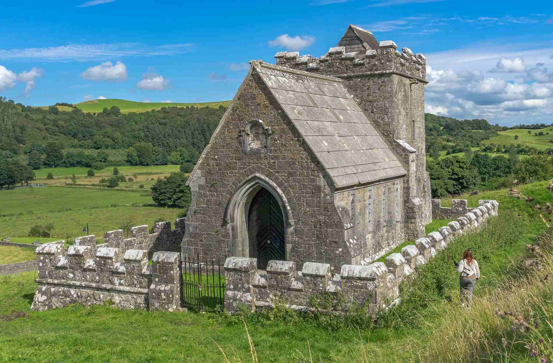 R.C. ChapelChurch · 771 yd
 MoatCastle, motte and bailey · 781 yd
 Christians Castle in ruinsCastle, unclassified · 845 yd
 Ben of ForeMountain / peak · 945 yd
 Castle IslandIslet · 1.9 mi
 Seafin HillMountain / peak · 2.2 mi
Other information
Photo: Credit not shown in the picture search · Rights wording not checked; contact us if this picture should be removed