What is recorded here
Broken wayside cross now survives in two fragments. Chamfered shaft of cross standing inside small stone walled structure on E side of road with partially damaged solid ringed-head of cross lying on the ground immediately W of shaft. Drawn by Du Noyer (George Victor Du Noyer, “on road side near Fore. Td. Of Lackill…
Read the whole record
From the National Monuments Service (Archaeological Survey of Ireland) record WM004-011
Places near here
Photo credits
- Illustrator not named; The Dublin Penny Journal (1835), public scan from Internet Archive and JSTOR, Wikimedia Commons · Public domain
- Willow, Wikimedia Commons · CC BY 2.5
- N Chadwick, Wikimedia Commons · CC BY-SA 2.0
- Marathon, Wikimedia Commons · CC BY-SA 2.0
- Maker not stated on source page, commons.wikimedia.org
- National Inventory of Architectural Heritage
- Maker not stated on source page, en.wikipedia.org
- Maker not stated on source page, tr.pinterest.com
- Maker not stated on source page, fr.pinterest.com
- Oliver Dixon, Wikimedia Commons · CC BY-SA 2.0
- Maker not stated on source page, www.youtube.com
- Malene Thyssen, Wikimedia Commons · CC BY-SA 3.0
 Fore AbbeyHeritage attraction · 464 yd
Explorer Tom Fore Abbey is refusing to fall down because it has excellent structural pride. It just stands there looking smug while…
 European ash631 yd
Explorer Tom European ash in County Westmeath would do absolutely fine on a reality show because it never panics, just stands there…
 North West GateVisitor attraction · 731 yd
Explorer Tom The North West Gate is haunted by a tragic love story that went horribly wrong right next to it. The couple still…
 Font in ForeFont · 783 yd
Explorer Tom Font in Fore would tell the place that replaced it to stop hogging all the attention at the door. It’s…
 St. Feighins Church in ruinsChurch · 784 yd
Explorer Tom St. Feighins Church in ruins would describe itself as ‘a victim of circumstance with excellent marketing skills’ to any…
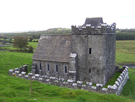 Greville-Nugent MausoleumMausoleum · 824 yd
Explorer Tom The Greville-Nugent Mausoleum in Fore is feuding with the next village over something daft like who invented the Gothic…
 Anchorites ChurchChurch · 824 yd
Explorer Tom Anchorites Church in Fore hosted a dance that went too far because the floor was made of pure stone and nobody wore…
 Memorial stone in ForeMemorial stone · 938 yd
Explorer Tom Memorial stone in Fore is missing because a local man swore he invented it in 1992. It used to sit over a chapel door…
 St. Marys Church in ruinsChurch · 948 yd
Explorer Tom St. Marys Church in Fore is where a priest lost a bet about how much pie he could eat before midnight. The ruins are…
 Ben of ForeMountain / peak · 1020 yd
Explorer Tom Ben of Fore has a tunnel right through the middle that leads directly to the nearest pub, I’m certain. It’s a mountain…
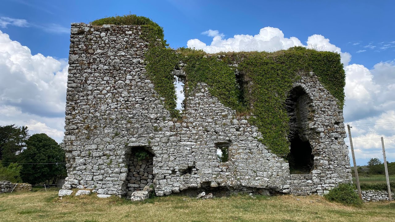 Annagh CastleCastle, unclassified · 1.7 mi
Explorer Tom Annagh Castle is an unclassified mystery that refuses to show up on most maps, probably being shy about its age. A cow…
 European Beech2.2 mi
Explorer Tom European Beech in County Meath gets constant bad reviews from local sheep who chew on its bark and don’t even say thank…
More archaeology and monuments in County Westmeath · All of County Westmeath

What do you know about this place?Tap to add a comment or ask a question