
What is recorded here
Situated on top of a hill. The cropmark of a subcircular enclosure (dims c. 47m ENE-WSW; c. 42m NNW-SSE) defined by a slight fosse is visible only on Google Earth (14/07/2018). There may be an entrance (Wth c. 2m) at N. Just S of the centre it is overlain by an ENE-WSW field bank, and a NNW-SSE field bank clips the perimeter at E. It was first reported by Simon Dowling.
See the attached enhanced view from Google Earth
Compiled by: Michael Moore
Date of upload; 6 March 2020
The monument record does not grant public access. Check the route and ask the landowner before entering private land.
- What survives
- Recorded monument
Places near here
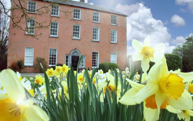 Enclosure in Clonmore UpperEnclosure · 369 yd
 St. Peters WellHoly well · 530 yd
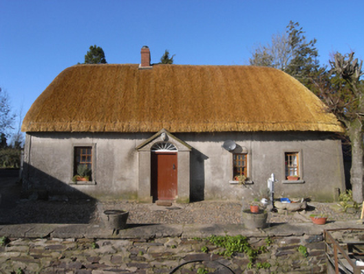 farm housefarm house · 773 yd
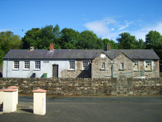 Glenbrien National Schoolschool · 1714 yd
 Scurlocksbush HillMountain / peak · 2.5 mi
 National 1798 CentreMuseum · 3.7 mi
 Battle of Vinegar HillMajor battlefield · 3.8 mi
 CastleCastle, ringwork · 3.9 mi
 U.N. Peace MemorialMonument · 3.9 mi
 Duffry GateMemorial · 4.0 mi
 Daphney CastleCastle, unclassified · 5.0 mi
 Raheennahoon HillMountain / peak · 8.1 mi
Other information
Photo: Credit not shown in the picture search · Rights wording not checked; contact us if this picture should be removed