What is recorded here
Clonmelsh in County Carlow, Ireland. Aerial photograph GB95.FR.30 shows a circular enclosure defined by a fosse, visible as a cropmark rather than a standing wall. The circle may have marked a household, a shrine or a boundary, but no human name or date has reached us. What remains is shape: a round line drawn across open land, waiting to be remembered.
Aerial photograph (GB95.FR.30) shows cropmark of a circular enclosure defined by a fosse.
A copy of aerial photograph GB95.FR.30 is printed as Fig.2.12 in the following:
Barrett, G.F. (2008) 'The archaeology of County Carlow: an aerial perspective, in T. McGrath and T. O'Keefe (eds), County Carlow: History and Society, Geography Publications, Dublin. 31-51
Compiled by: Dr Gillian Barrett for the Archaeological Survey of Ireland.
Date of upload: 15 April 2011
The monument record does not grant public access. Check the route and ask the landowner before entering private land.
- What survives
- Recorded monument
Places near here
 Graveyard in ClonmelshGraveyard · 206 yd
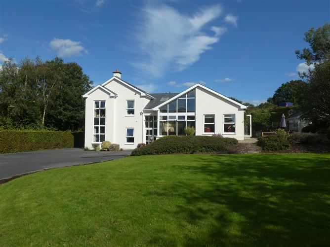 Enclosure in ClonmelshEnclosure · 389 yd
 CrossCross, High cross · 784 yd
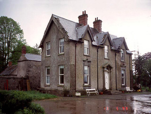 Garryhundon Househouse · 1349 yd
 Milford Locklock · 1.6 mi
 Pedunculate OakPedunculate Oak · 2.1 mi
 Graveyard in Tomard Lower (3 Detached Portions)Graveyard · 2.4 mi
 Common LimeCommon Lime · 2.4 mi
 Graiguealug Castle in ruinsCastle, unclassified · 2.6 mi
 Clogrenan CastleCastle, tower house · 2.8 mi
 Carlow County MuseumMuseum · 4.1 mi
 Carlow CastleRuined medieval castle · 4.2 mi