What is recorded here
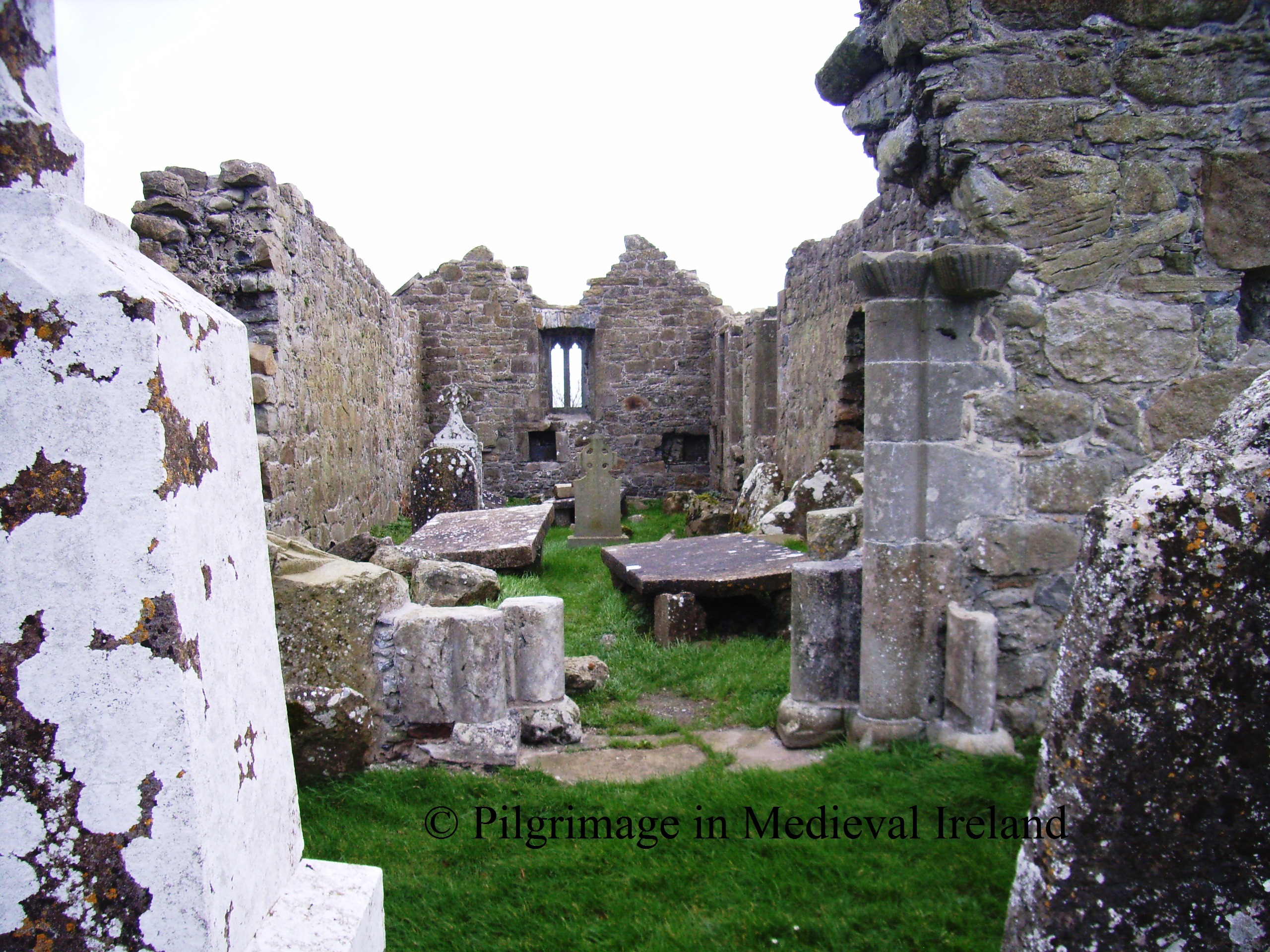
Located on high ground with holy well (OF014-019----) to S and Childrens Burial ground (OF014-016----) to N. Poorly preserved remains of a rectangular church (OF014-017001-) built with roughly coursed limestone rubble. Known locally as St. Brigids church and may be associated with penal times as mentioned in the ITA Survey (1942). No evidence of any enclosure surrounding the church. Circular field boundary enclosing the church may be the remains of an enclosing element around the church or they may be 19th century field boundary. This roughly circular field boundary is not shown on the 1838 edition of the ordnance survey 6-inch map.
The above description is derived from the published 'Archaeological Inventory of County Offaly' (Dublin: Stationery Office, 1997). In certain instances the entries have been revised and updated in the light of recent research.
Date of upload: 23 May 2011
The monument record does not grant public access. Check the route and ask the landowner before entering private land.
- What survives
- Recorded monument
Places near here
 Mullanakill Church (in Ruins)Church · 40 yd
 RelicpastiaChildren's burial ground · 125 yd
 AltarAltar · 177 yd
 Clonlyon CastleCastle, tower house · 864 yd
 Site of Faddanmore CastleCastle, unclassified · 1.5 mi
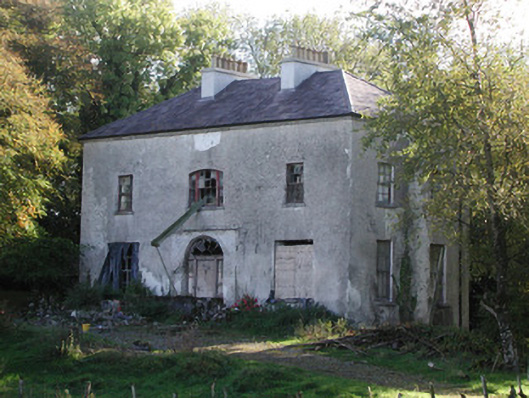 Killagally Parkrectory/glebe/vicarage/curate's house · 1.8 mi
 Endrim HillMountain / peak · 1.9 mi
 Ballylin Bog BoardwalkHeritage attraction · 2.2 mi
 Saint Reaghan's WellSpring · 3.1 mi
 St. Saran's WellSpring · 3.8 mi
 Cloghan HillMountain / peak · 4.3 mi
 Kilbeg WoodWood · 4.5 mi