What is recorded here
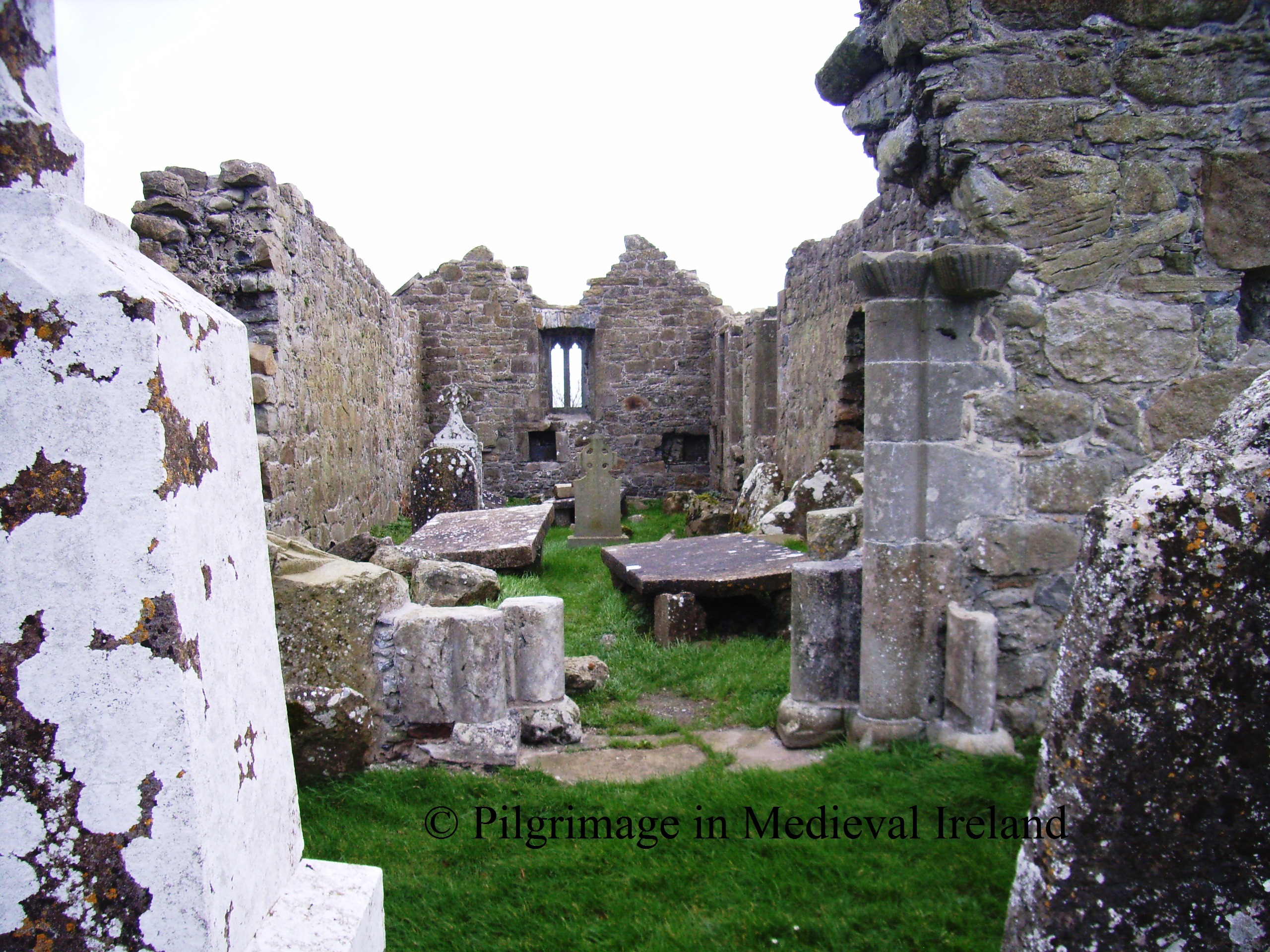
Situated on top of high ground with good extensive views with church (OF014-017001-) to SE. D-shaped graveyard enclosed by a stone wall (H 1m; W T 0.5m) which encloses an area (26m E-W; 15.5m N-S) with rows of erect unmarked headstones orientated E-W aligned on a N-S axis. Wall appears to be 18th/19th-century in date and possible coffin stand and stile located at the S end of the E wall. Graveyard may be associated with the nearby church which probably dates to the 18th-century. Uncertain if it is the site of a childrens burial ground, appears to be too elaborate for a childrens burial ground. May be associated with penal times thus explaining the unmarked headstones. May have been a graveyard that was reused asa childrens burial ground.
The above description is derived from the published 'Archaeological Inventory of County Offaly' (Dublin: Stationery Office, 1997). In certain instances the entries have been revised and updated in the light of recent research.
Date of upload: 23 May 2011
D-shaped early Christian graveyard; 6th to 10th century. Its location on high ground and association with a church suggest it was a significant ecclesiastical and burial site in the early medieval period.
The monument record does not grant public access. Check the route and ask the landowner before entering private land.
- What survives
- Recorded monument
Places near here
 Mullanakill Church (in Ruins)Church · 85 yd
 AltarAltar · 299 yd
 Enclosure in Clonlyon GlebeEnclosure · 380 yd
 Clonlyon CastleCastle, tower house · 789 yd
 Site of Faddanmore CastleCastle, unclassified · 1.6 mi
 Endrim HillMountain / peak · 1.9 mi
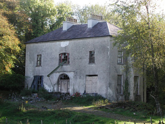 Killagally Parkrectory/glebe/vicarage/curate's house · 1.9 mi
 Ballylin Bog BoardwalkHeritage attraction · 2.2 mi
 Saint Reaghan's WellSpring · 3.1 mi
 St. Saran's WellSpring · 3.8 mi
 Cloghan HillMountain / peak · 4.4 mi
 Kilbeg WoodWood · 4.6 mi
Other information
Photo: Credit not shown in the picture search · Rights wording not checked; contact us if this picture should be removed