What is recorded here
Situated on top of a hillock, in gently undulating pasture, with bog to S and W. Annotated 'Lisdillon' and depicted on the revised 1913 ed. OS 25-inch map as an oval-shaped earthwork. Monument described in 1970 as a subcircular-shaped area (dims. 29.40m E-W; 26m N-S) enclosed by a bank with the remains of an external fosse. The bank is best preserved from WNW-N and has been reduced to a scarp (H 2m) elsewhere. The scarp has been levelled from NE-E and ESE-S. A large quarry hole has been dug in the scarp at E. The external fosse is only visible from SSW-SW-WSW. The original entrance is not visible. The remains of a house site (WM020-076001-) are visible in E quadrant of ringfort. Monument visible today as a roughly subcircular-shaped earthwork on Digital Globe aerial photography.
Compiled by Alison McQueen, Vera Rahilly and Caimin O’Brien.
Date of upload: 05 July 2019
The monument record does not grant public access. Check the route and ask the landowner before entering private land.
- What survives
- Recorded monument
Places near here
 Water millWater mill, horizontal-wheeled · 798 yd
 CastleCastle, tower house · 1183 yd
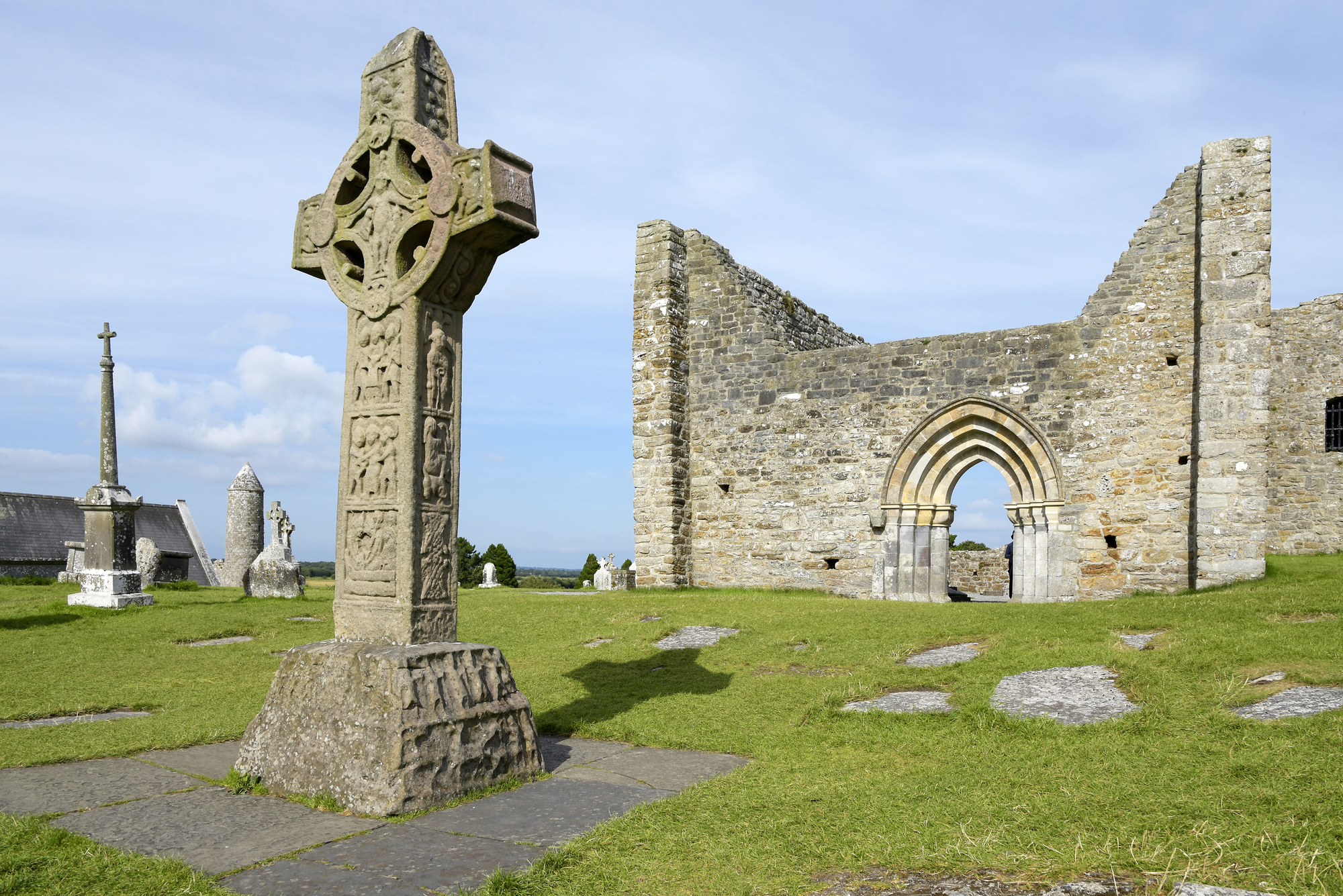 IndicatedCrannog · 1280 yd
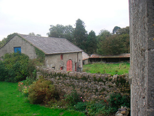 Huntingdon Houseoutbuilding · 1745 yd
 Hut site in ClonickilvantHut site · 1.0 mi
 Bawn in Kerinstown and Balrowan (rowley)Bawn · 1.5 mi
 GinkgoGinkgo · 3.7 mi
 ScregganWood · 7.2 mi
 Croppies' GraveMemorial · 10 mi
 EnclosureEnclosure, large enclosure · 1.1 mi
 Ardglass Househouse · 1.3 mi
 bridgebridge · 1.4 mi