What is recorded here
Fairy fort / earthen ringfort in Cloncannon is a fairy fort or earthen ringfort in Cloncannon, County Tipperary, Ireland. It occupies high ground in an upland area, with another ringfort located to the southwest. The circular area measures 31.0 metres from north to south and is enclosed by an earth and stone bank 1.0 metre wide. The bank stands 1.0 metre high inside and 1.0 to 1.5 metres high outside, though it is mainly reduced to a scarp 0.7 to 1.0 metres high.
Situated on high ground in an upland area with a nearby ringfort (TN022-042) to the SW. A circular area (diam. 31m N-S) enclosed by an earth and stone bank (Wth 1m; int. H 1m; ext. H 1-1.5m) mainly reduced to a scarp (H 0.7-1m) with a possible entrance gap (Wth 4m) at NNE. Field fences intersect the site at ENE, S and W.
The above description is derived from 'The Archaeological Inventory of County Tipperary. Vol. 1 - North Tipperary' compiled by Jean Farrelly and Caimin O'Brien (Dublin: Stationery Office, 2002). In certain instances the entries have been revised and updated in the light of recent research.
Date of upload/revision: 22 September 2008
The monument record does not grant public access. Check the route and ask the landowner before entering private land.
- What survives
- Recorded monument
Places near here
 The MoatCastle, motte · 1083 yd
 Cliff-edge fort in CloncannonCliff-edge fort · 1203 yd
 Borrisnoe MountainMountain / peak · 1554 yd
 CastleCastle, motte · 1.1 mi
 BenduffMountain / peak · 1.2 mi
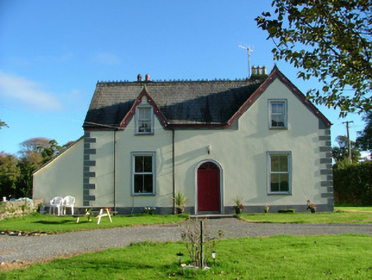 Barnagrotty Housefarm house · 1.4 mi
 Enclosure in AghnameadleEnclosure · 1.5 mi
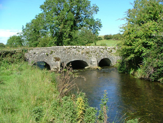 Aghnameadle Bridgebridge · 1.5 mi
 Kyleroe WoodWood · 3.1 mi
 Longford WoodForest · 3.6 mi
 Thomas MacDonagh Heritage CentreMuseum · 7.8 mi
 MacDonagh HouseMemorial · 7.8 mi