What is recorded here
Seven metres of gravel and clay still rise above the Boyne pasture, though livestock have bitten through its western skin. The mound kept its shape through orchards and demolished buildings, suggesting human hands stacked it deliberately rather than water or time. It stands as a perfect ancient tumulus because people kept returning to measure, protect or remember what it marked.
Depicted on the 1st. ed. (1838) of the OS 6-inch map as a substantial circular earthwork (est. diam. c. 50m) located in an orchard enclosed along the N, S and SW sides by an extensive range of buildings which have since been removed. Described by Wilde (1849) as 'a very perfect ancient tumulus'. On level improved pasture c. 350m S of the confluence of the N-flowing Glash River with the NE-flowing River Boyne. A fairly high, steep-sided, grass-covered, sub-circular, earthen mound (H 7m; diams. at base 38m NE-SW; 36m NW-SE) rises to a narrow, level, sub-rectangular upper surface (dims. L 12m NE-SW; Wth 2.9m NW-SE). A low berm (Wth 2m; H 0.6m) girdles the base ESE-S. The sides of the mound are poached by livestock at NW and SE and reveal a composition of gravel and clay.
Compiled by: Gearóid Conroy
Date of upload: 10 June 2011
The monument record does not grant public access. Check the route and ask the landowner before entering private land.
- What survives
- Recorded monument
Places near here
 Croppies' GraveMemorial · 248 yd
 Leinster Bridgebridge · 278 yd
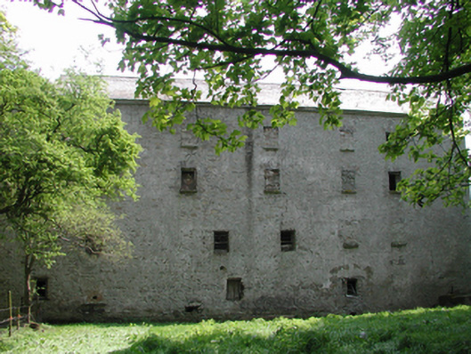 Ballyonan Millmill (water) · 475 yd
 Enclosure in KilrathmurryEnclosure · 838 yd
 Field system in Anneville or Clonard OldField system · 1664 yd
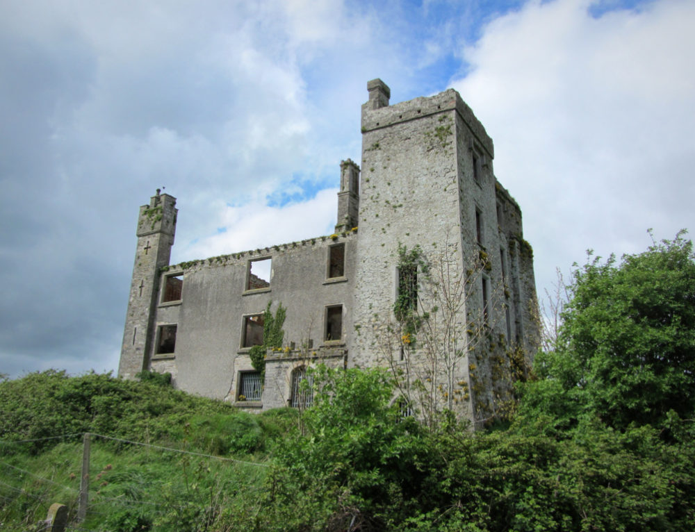 CastleCastle, ringwork · 1.1 mi
 Abandoned Kinnegad CanalWood · 1.9 mi
 Queen Marys CastleCastle, tower house · 2.0 mi
 Rahin WoodsForest · 3.2 mi
 The Grill ShackHeritage attraction · 10 mi
 John McLaughlinMemorial · 20 mi
 Arthur GuinessMemorial · 20 mi