What is recorded here
Fairy fort / earthen ringfort in Clonaglin is a fairy fort or earthen ringfort in Clonaglin, County Westmeath, Ireland. The 1976 survey described a roughly oval area measuring 34 metres east to west and 30 metres north to south, defined by a low scarp whose height is augmented by the natural slope on the northeast through east to southeast side. That account recorded a visible causewayed entrance at the southeast, where a long earthen causeway runs up the ridge slope into the interior, while noting no indications of a bank or external fosse. The 1837 map annotated the site as Augh an Raheen, and the 1910 map depicts it as a D-shaped earthwork.
Situated at the E end of a ridge running E-W, in pasture, with good views in all directions. Annotated ‘Augh an Raheen’ on the 1837 OS Fair Plan map and depicted as a roughly circular-shaped earthwork. Shown on the revised 1910 ed. OS 25-inch map as a D-shaped earthwork. Monument described in 1976 as a roughly oval-shaped area (34m E-W; 30m N-S) defined by a low scarp. The natural slope at the edge of the ridge adds considerably to the height of the scarp from NNE-E-SE. There are no indications of a bank or external fosse. A causewayed entrance (max. Wth 5m) is visible at SE, where a long earthen causeway (approx. overall L 40m) runs up the natural slope of the ridge and continues up the embankment and into the interior. The interior is fairly level and no features are visible. Monument is visible today as a D-shaped tree-planted earthwork on Digital Globe aerial photography.
Compiled by Alison McQueen, Vera Rahilly and Caimin O’Brien.
Date of upload: 18 December 2019
A fairy fort or earthen ringfort in Clonaglin, likely dating to the early medieval period, is situated at the eastern end of an east-west ridge and was annotated as "Augh an Raheen" on the 1837 OS Fair Plan. Local tradition associates such sites with fairy folklore, and they were often considered sacred or inhabited by supernatural beings in Irish tradition.
The monument record does not grant public access. Check the route and ask the landowner before entering private land.
- What survives
- Recorded monument
Places near here
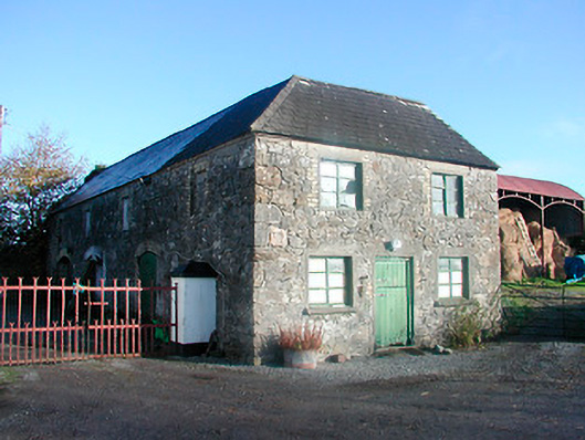 outbuildingoutbuilding · 871 yd
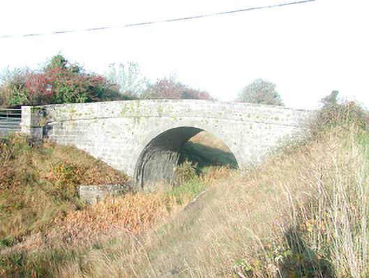 Skeahanagh Bridgebridge · 992 yd
 OutlinedFairy fort / ringfort · 1318 yd
 EnclosureEnclosure, large enclosure · 1.0 mi
 Bonfire HillMountain / peak · 1.3 mi
 Ardan WoodWood · 1.7 mi
 Lows Castle (in Ruins)Castle, unclassified · 2.0 mi
 Balrath CastleCastle · 2.3 mi
 Durrow HillMountain / peak · 2.4 mi
 High WoodWood · 3.4 mi
 St. Columba's WellSpring · 3.6 mi
 Grand Canal WayWalking route · 6.3 mi