What is recorded here
Clonagannagh lost its fairy fort to a quarry, erasing the circular wall marked on the 1912 map. The stones may have built a home, a trap or a gift for the changed world. What is removed from the ground does not disappear, but joins the road, the wall or the bone of the person standing above it.
Not visible at ground level. Now the site of a quarry. Hachured as large circular enclosure on 1912 edition of the OS 6-inch map.
The above description is derived from the published 'Archaeological Inventory of County Offaly' (Dublin: Stationery Office, 1997). In certain instances the entries have been revised and updated in the light of recent research.
Date of upload: 23 May 2011
The monument record does not grant public access. Check the route and ask the landowner before entering private land.
- What survives
- Recorded monument
Places near here
 IndicatedCastle, unclassified · 114 yd
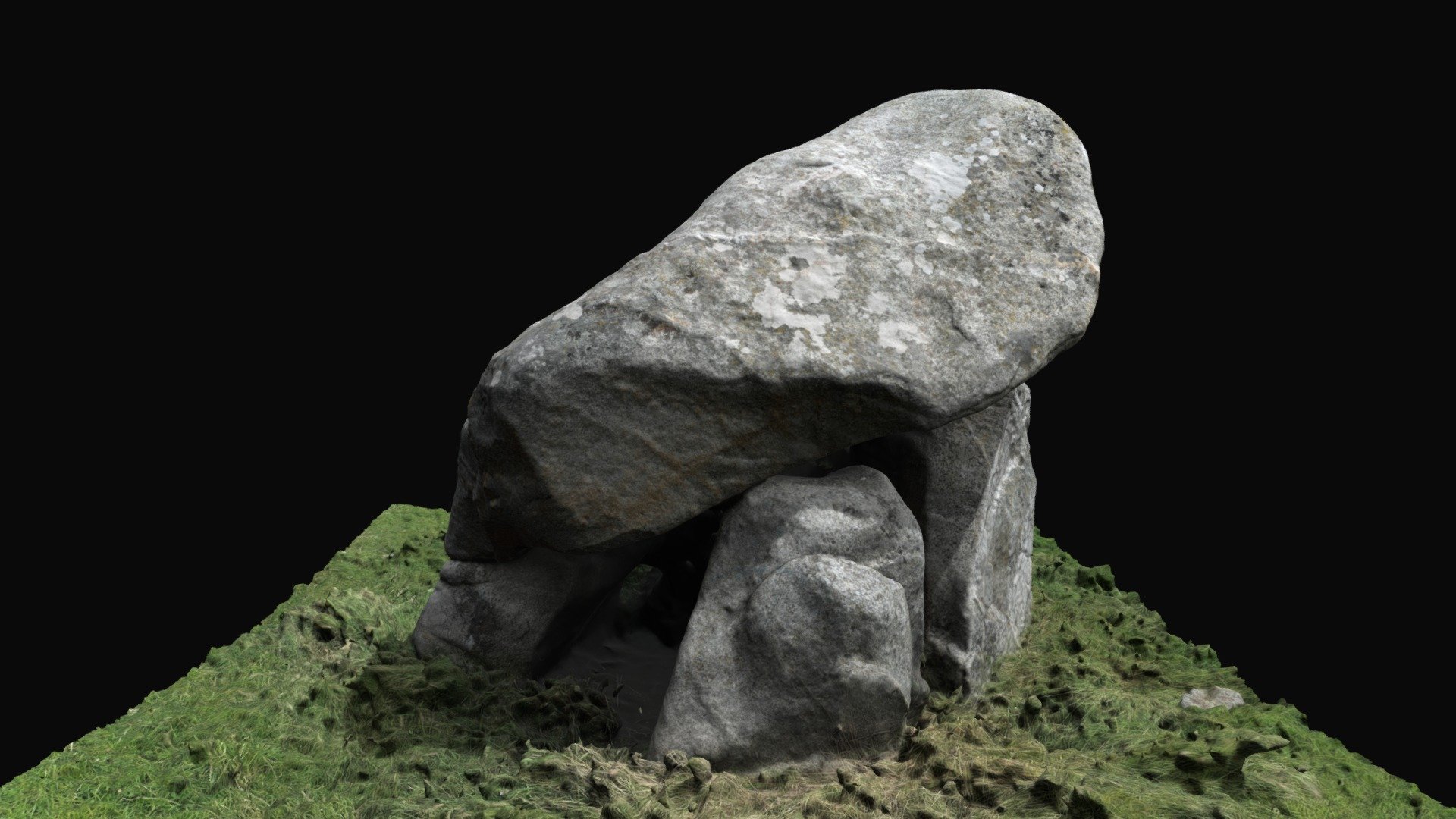 Enclosure in BallybrackEnclosure · 559 yd
 Dotted lineBawn · 1.0 mi
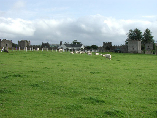 Franckfort Castlecountry house · 1.3 mi
 Settlement desertedSettlement deserted, medieval · 1.4 mi
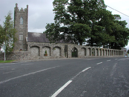 Dunkerrin Churchchurch/chapel · 1.5 mi
 Coolock WoodForest · 2.5 mi
 White MulberryWhite Mulberry · 2.5 mi
 Roscrea Petty Sessions HouseHeritage attraction · 4.0 mi
 Eagle HillMountain / peak · 4.1 mi
 Golden Grove HillMountain / peak · 4.5 mi
 Thomas MacDonagh Heritage CentreMuseum · 6.6 mi