What is recorded here
Fairy fort in Clonagannagh, County Offaly: a 39 m earthen ring with a 3 m bank, broken outside ditch and a 10 m northwest gap, set on a west-facing slope. The shape is not subtle; it marks a small defended or ceremonial place in open countryside. People may have lived, gathered or avoided it there, depending on whether they believed it belonged to humans or fairies.
Situated on W facing slope on a slight rise of ground in undulating countryside. Roughly circular area (diam 39m) enclosed by an earthen bank (Wth 3m) and external fosse (Wth 3m) with entrance gap (Wth. 10m) at NW. Fosse is destroyed from S through W to NW.
The above description is derived from the published 'Archaeological Inventory of County Offaly' (Dublin: Stationery Office, 1997). In certain instances the entries have been revised and updated in the light of recent research.
Date of upload: 23 May 2011
The monument record does not grant public access. Check the route and ask the landowner before entering private land.
- What survives
- Recorded monument
Places near here
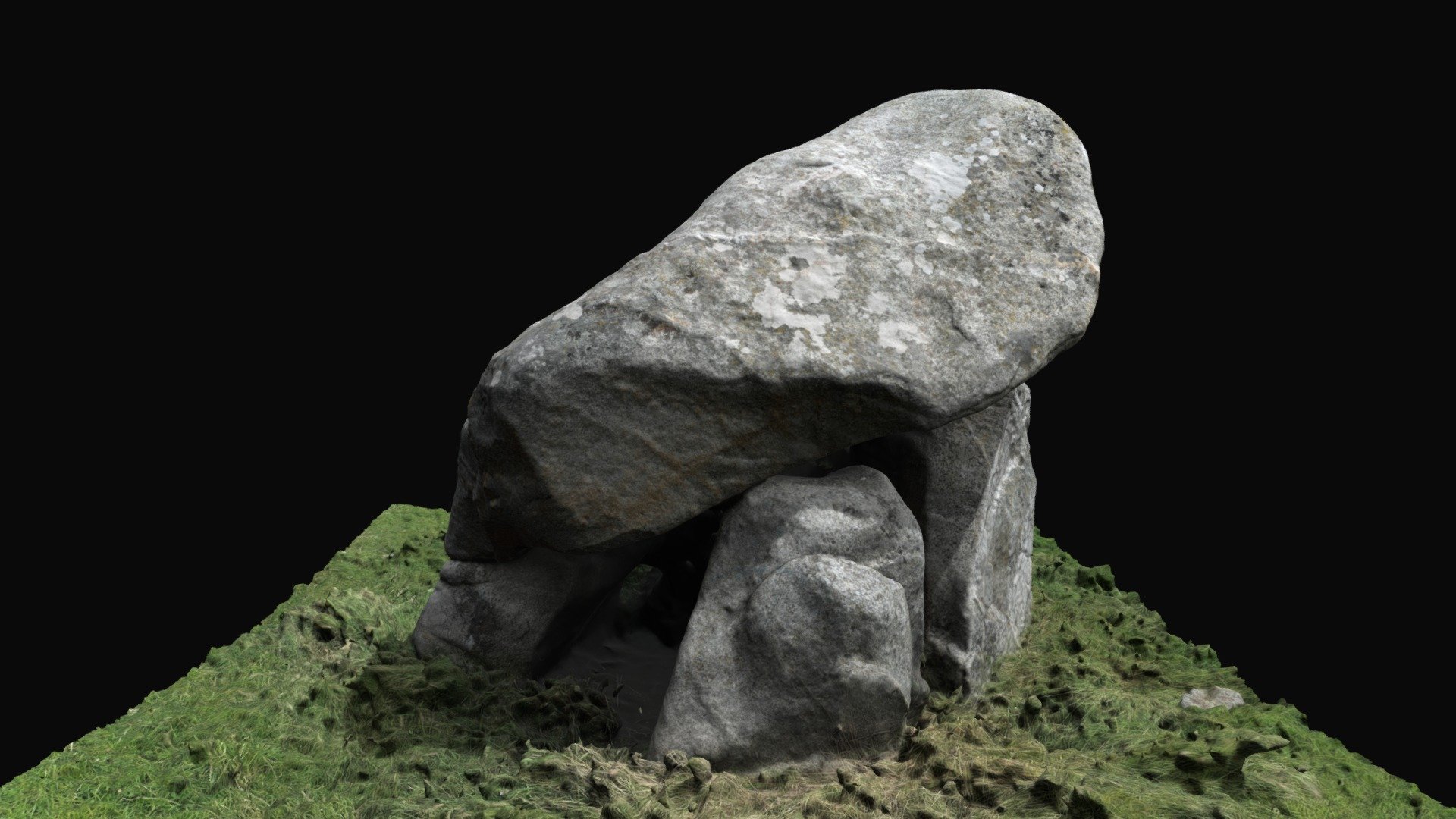 Enclosure in BallybrackEnclosure · 1275 yd
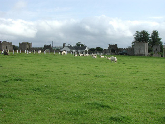 Franckfort Castlecountry house · 1328 yd
 IndicatedCastle, unclassified · 1331 yd
 CastleCastle, motte · 1644 yd
 Field system in FranckfortField system · 1706 yd
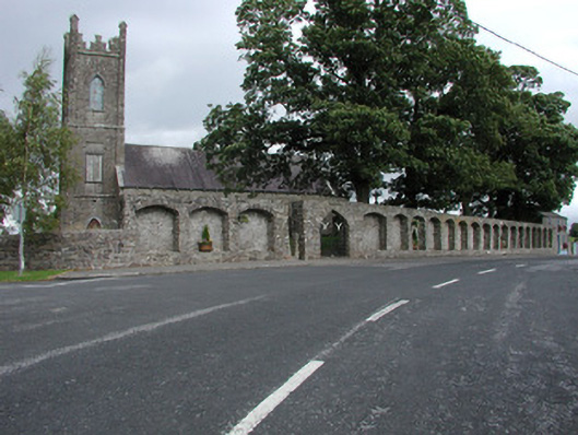 Dunkerrin Churchchurch/chapel · 1736 yd
 Coolock WoodForest · 2.8 mi
 White MulberryWhite Mulberry · 3.0 mi
 Eagle HillMountain / peak · 4.5 mi
 BenduffMountain / peak · 4.6 mi
 Roscrea Petty Sessions HouseHeritage attraction · 4.7 mi
 Thomas MacDonagh Heritage CentreMuseum · 6.0 mi