
What is recorded here
Low linear earthworks possibly beloning ot a field system survive in the adjoining field immediately to the N of the church (OF045-022002-) and graveyard (OF045-022003-) at Dunkerrin, may have been assoicated with the medieval settlement (OF045-022----).
Compiled by: Caimin O'Brien.
Date of upload/revision: 04 January 2012
The monument record does not grant public access. Check the route and ask the landowner before entering private land.
- What survives
- Recorded monument
Places near here
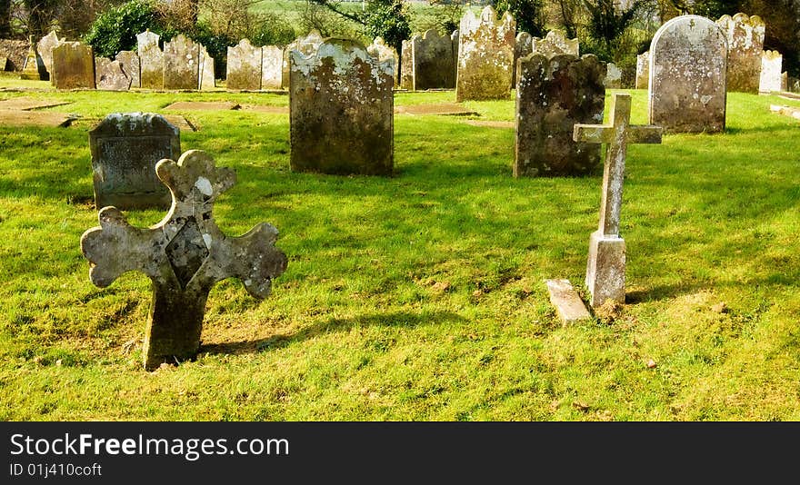 Grave YardGraveyard · 48 yd
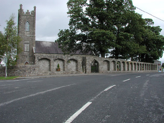 Dunkerrin Churchchurch/chapel · 69 yd
 DunkerrinSettlement deserted, medieval · 101 yd
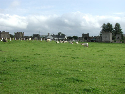 Franckfort Castlecountry house · 383 yd
 CastleCastle, motte · 735 yd
 Castle (in ruins)Castle, tower house · 1.4 mi
 Longford WoodForest · 3.3 mi
 BenduffMountain / peak · 3.6 mi
 Coolock WoodForest · 3.8 mi
 Borrisnoe MountainMountain / peak · 4.9 mi
 Roscrea Petty Sessions HouseHeritage attraction · 5.4 mi
 Thomas MacDonagh Heritage CentreMuseum · 5.8 mi
Other information
Photo: Credit not shown in the picture search · Rights wording not checked; contact us if this picture should be removed