What is recorded here
Fairy fort / earthen ringfort in Clonaboy is a fairy fort or earthen ringfort in Clonaboy, County Westmeath, Ireland. The site occupies a slight natural rise on the southwest edge of poorly drained peatland, offering good views to the northwest and southeast. A low bank of earth and stones defines a slightly raised circular area with a diameter of approximately 23 meters, with the bank best preserved from south-southeast through south to west and west-northwest. A possible entrance gap appears at the south, while there is no trace of an enclosing fosse.
Situated on a slight natural rise on the SW edge of poorly drained peatland, with good views to the NW & SE. Higher well drained pasture-land to S, W and NW. A slightly raised circular area (approx. diam. 23m) defined by a low a bank of earth and stones, best preserved from SSE-S-W-WNW. Possible entrance gap at S. There is no trace of an enclosing fosse. The raised interior is rather uneven and it rises from the perimeter towards the centre, where the outline of a possible house site (WM005-006001---) is visible.
Compiled by: Frank Coyne & Caimin O'Brien
Date of upload: 13 December 2016
This remains an important historical record, but the official description says the monument is no longer visible or has been destroyed. The monument record does not grant public access. Check the route and ask the landowner before entering private land.
- What survives
- No visible remains or recorded as destroyed
Places near here
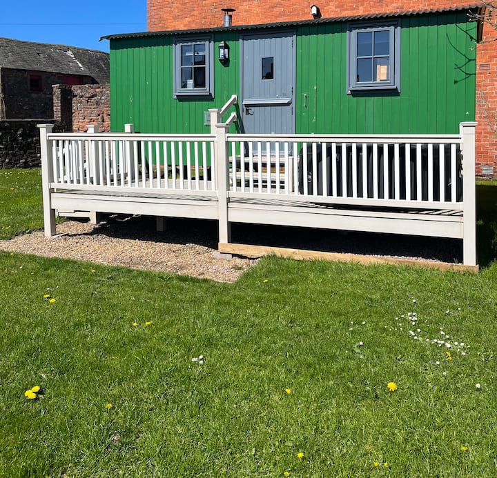 Hut site in ClonaboyHut site · 1 yd
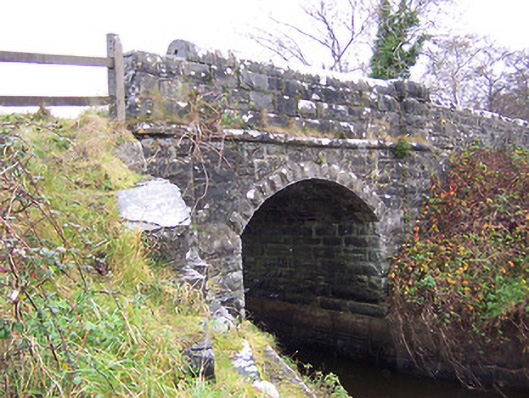 New Bridgebridge · 710 yd
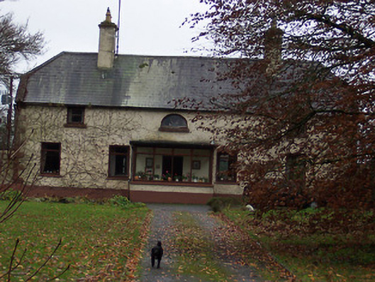 Derrydooan Househouse · 1024 yd
 Sweet ChestnutSweet Chestnut · 1174 yd
 Ecclesiastical enclosure in RathaspickEcclesiastical enclosure · 1311 yd
 Site of CastleCastle, unclassified · 1341 yd
 Silver FirSilver Fir · 1555 yd
 CastleCastle, motte · 1.8 mi
 Edgeworthstown BypassMemorial · 4.1 mi
 Abbeyshrule AbbeyRuins · 6.7 mi
 Granard MotteMotte-and-bailey castle remains · 9.0 mi
 1798 Monumentmonument · 9.0 mi