What is recorded here
Fairy fort / earthen ringfort in Cloghmartin is a fairy fort or earthen ringfort in Cloghmartin, County Tipperary, Ireland. It occupies a south-facing hill slope in undulating reclaimed pasture. Leveling has reduced the site, yet a 2.2 metre wide bank remains visible around a 32 metre circular area. The bank is less evident to the east, and a north-east to south-west gravel roadway cuts through its top in the north-west quadrant.
Situated on the S-facing slope of a hill, in undulating reclaimed pasture. The site has been levelled but the enclosing bank (Wth 2.2m; int. H 0.14m; ext. H 0.6m) is still visible defining a circular area (diam. 32m N-S and E-W). The bank is less evident at E. A NE-SW gravel roadway cuts through the top of the bank in the NW quadrant. A field boundary immediately W of the site has been cleared.
The above description is derived from 'The Archaeological Inventory of County Tipperary. Vol. 1 - North Tipperary' compiled by Jean Farrelly and Caimin O'Brien (Dublin: Stationery Office, 2002). In certain instances the entries have been revised and updated in the light of recent research.
Date of upload/revision: 22 September 2008
The monument record does not grant public access. Check the route and ask the landowner before entering private land.
- What survives
- Recorded monument
Places near here
 Castle (in ruins)House, indeterminate date · 502 yd
 Enclosure in CabraghEnclosure · 604 yd
 RoadRoad, road/trackway · 690 yd
 Enclosure in Turtulla (fertiana Par.)Enclosure · 1359 yd
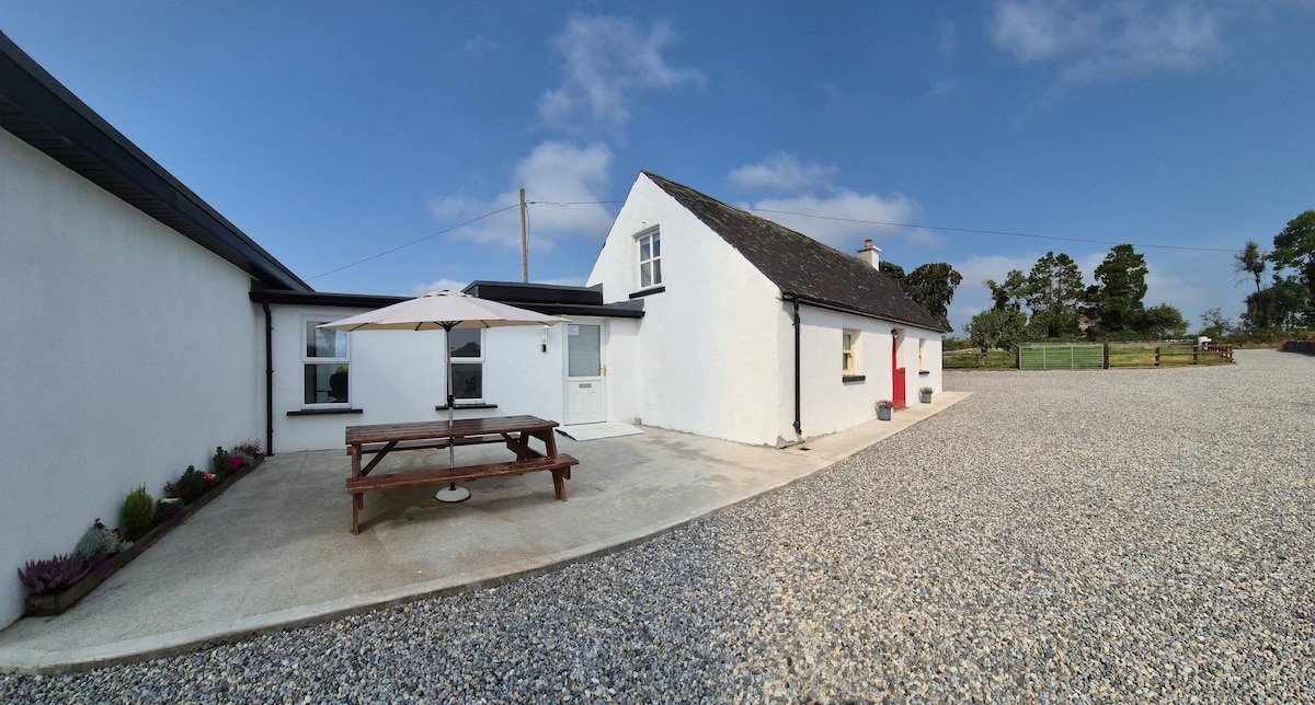 Bawn in Galbertstown LowerBawn · 1.0 mi
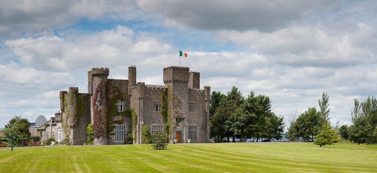 Graigue CastleCastle · 1.0 mi
 Wildlife CorridorWood · 1.7 mi
 Byrnes's WoodsForest · 2.1 mi
 Killough Hill (site of)Mountain / peak · 2.1 mi
 Cormackstown Heritage CentreMuseum · 2.4 mi
 Lár na PáirceMuseum · 2.7 mi
 Horse and JockeyVisitor information · 3.5 mi