What is recorded here
Situated on a marked N-facing slope to the S of (WI006-001001-). Two circular cairns (diam. c. 10m; H 1m) 5m apart and partly covered by peat. Both have elongated hollows (L 8m; Wth 2m) opening from the E side. A hollow in the S cairn is partly faced with boulders. (Information R. Dowling)
The above description is derived from the published 'Archaeological Inventory of County Wicklow' (Dublin: Stationery Office, 1997). In certain instances the entries have been revised and updated in the light of recent research.
Date of upload/revision: 17 December 2008
A Neolithic cairn with elongated hollows, likely dating to the Early to Middle Neolithic period (c. 4000–3000 BCE). Its dual structure and hollows suggest ritual or funerary use, typical of early megalithic traditions in Ireland.
The monument record does not grant public access. Check the route and ask the landowner before entering private land.
- What survives
- Recorded monument
Places near here
 Enclosure in CloghleaghEnclosure · 184 yd
 Passage tomb in ScurlocksleapPassage tomb · 1204 yd
 SeefinMountain / peak · 1253 yd
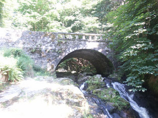 Cloghleagh Bridgebridge · 1509 yd
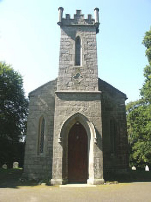 Saint John's Church (Kilbride)church/chapel · 1572 yd
 SeefinganMountain / peak · 1.5 mi
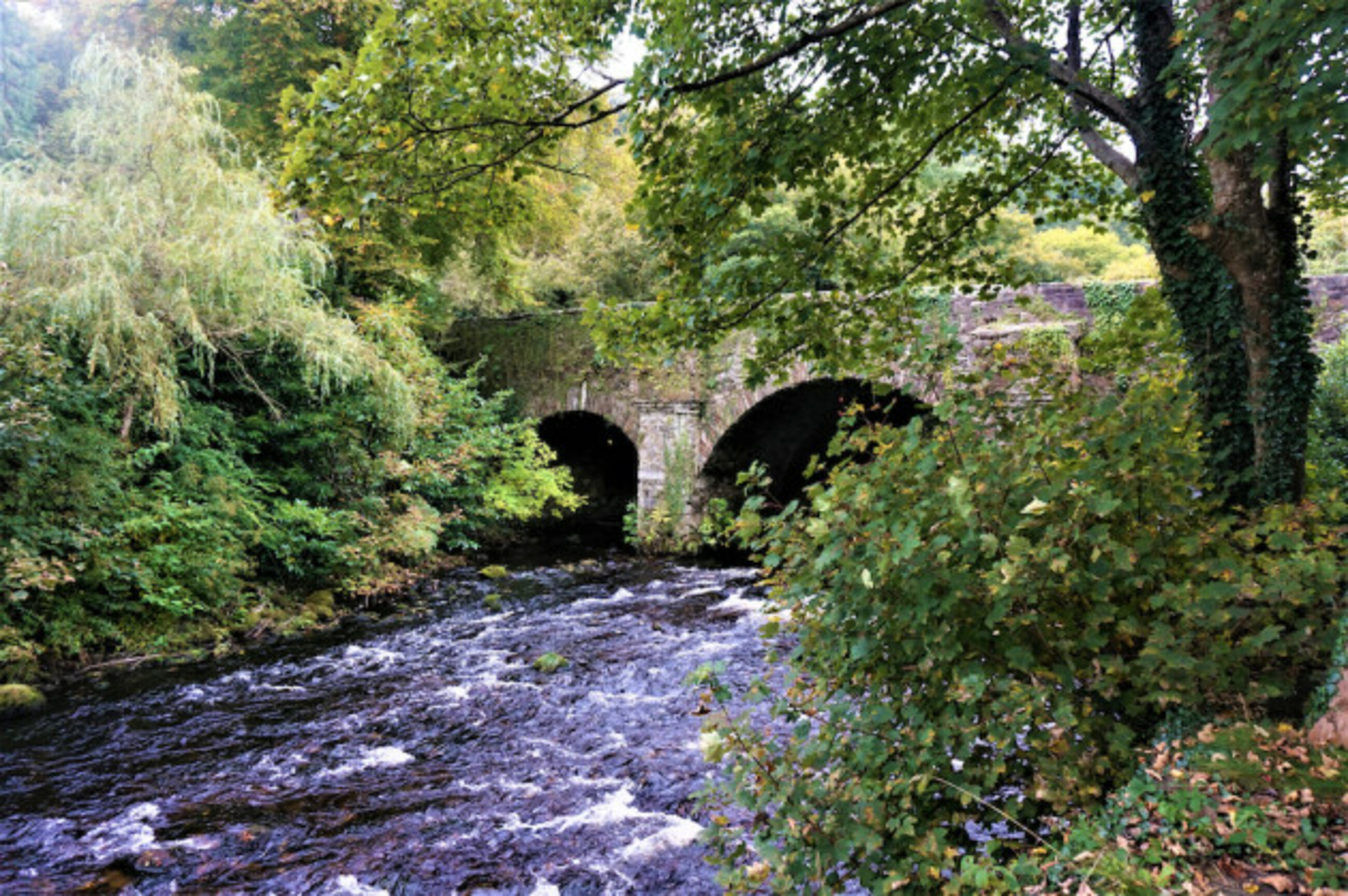 Athdown MoatCastle, motte · 1.6 mi
 Scots PineScots Pine · 2.2 mi
 Rock WoodForest · 2.3 mi
 OldcourtMemorial · 2.6 mi
 Site of CastleCastle, unclassified · 2.8 mi
 Saint Ann's GraveyardRuins · 3.9 mi