What is recorded here
Dense scrub now strangles the earthworks, hiding a twenty-metre circle where two banks and a central ditch once defined the boundary. The outer bank has surrendered to field lines and a collapsed stone wall, yet the inner ring remains unbroken except for a narrow gap at the south-east. This is not a fairy tale but a human fort, its shape preserved in soil long after its people vanished. The vegetation does not decorate the site; it erases the very distinction between inside and out that the builders went to trouble to maintain.
In level pasture, c. 20m SW of another ringfort (LI013-035----). The monument is heavily masked by dense scrub vegetation cover. It is depicted on the 1924 OS 6-inch map as a circular enclosure (diam. c. 20m N-S by c. 20m E-W) enclosed by a bank from SW to N to SE, with the remainder of the enclosing element indicated by a line. It is evident as a sub-circular area enclosed by two banks and an intervening fosse. The internal bank (int. H 0.45m; ext. H 1.15m; Wth 1.5m) is well-preserved all round, with a gap at SSE (Wth 1.1m). The fosse (Wth 1.5m) is evident all round. The external bank (ext. H 0.2m; int. H 0.6m; Wth 1.5m) has been incorporated into field boundaries from W to SSW and from NNE to E. A collapsed stone wall encroaches on the external bank and the fosse at S. The interior surface is uneven and covered by dense scrub vegetation and fallen trees.
Compiled by: Denis Power
Date of upload: 27 March 2013
The monument record does not grant public access. Check the route and ask the landowner before entering private land.
- What survives
- Recorded monument
Places near here
 ExcavationExcavation, miscellaneous · 603 yd
 Not shown.Excavation, miscellaneous · 621 yd
 RoadRoad, road/trackway · 865 yd
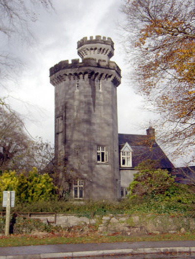 Roche Castlehouse · 1351 yd
 Castle FieldCastle, unclassified · 1.2 mi
 Meelick Ho.House, fortified house · 3.3 mi
 Sailors HaggardMemorial · 4.2 mi
 Fountain SculptureHeritage attraction · 5.9 mi
 Visitor CentreVisitor information · 5.9 mi
 Campus MapVisitor information · 6.0 mi
 Grass IslandIslet · 6.7 mi
 Maiden RockNamed rock · 7.0 mi