What is recorded here
Identified during archaeological monitoring associated with the N20/N21 Limerick Bypass road scheme. Excavated under licence no. 98E0504 by Audrey Gahan (Gahan 1999) the results were summarised as following; ‘Five areas of archaeological significance were identified and excavated. In all cases the features survived only where they cut subsoil, the result of generations of farmland development. Area 1 consisted of an arc of small pits and post-holes filled with charcoal-rich soils. It is possible that the site, which was c. 7m in diameter, represents the heavily truncated remains of a circular hut, of probable prehistoric (Bronze Age?) date.
Area 2 was adjacent to an area previously excavated by Paul Logue, [LI013-166-----] where substantial evidence of Bronze Age activity was uncovered. Most likely this area was an extension of that activity. The site itself consisted of around 40 post-holes and pits. No discernible structure could be identified, and a saddle quern, within one of the pits, represented the only artefact from the site.
The remaining three areas investigated consisted of random scatters of pits and post-holes. Truncation in the area means that no discernible structures could be identified. No artefacts that could conclusively date the sites were recovered, but, as with the rest of the archaeology within this area, it appears most likely that they date to the prehistoric period’ (www.excavations.ie 1999, No. 383).
Compiled by: Martin Fitzpatrick
Date upload: 3 July 2020
The monument record does not grant public access. Check the route and ask the landowner before entering private land.
- What survives
- Recorded monument
Places near here
 ExcavationExcavation, miscellaneous · 76 yd
 RoadRoad, road/trackway · 281 yd
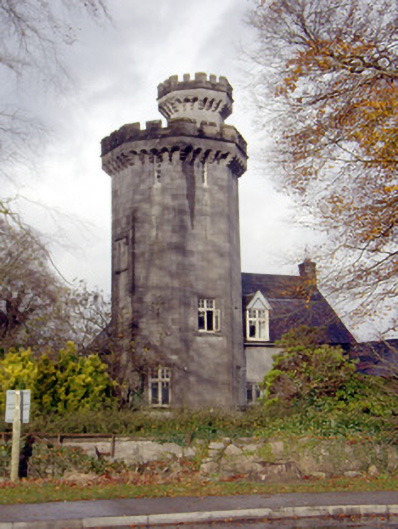 Roche Castlehouse · 742 yd
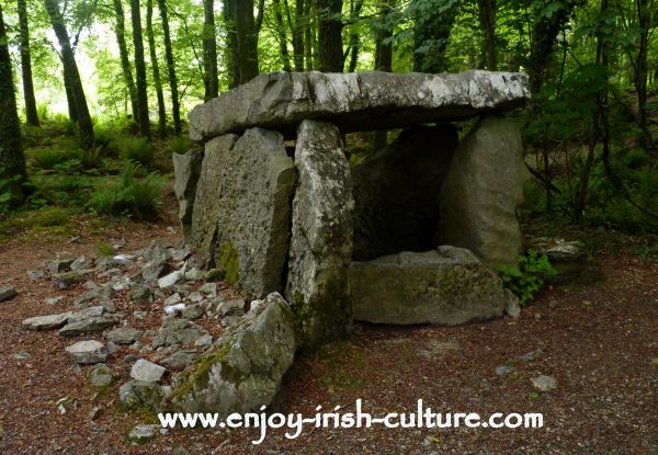 Fulacht fia in CloghaclokaFulacht fia · 1741 yd
 Castle FieldCastle, unclassified · 1.3 mi
 CastleCastle, unclassified · 1.8 mi
 Sailors HaggardMemorial · 4.2 mi
 Fountain SculptureHeritage attraction · 5.6 mi
 Visitor CentreVisitor information · 5.6 mi
 Campus MapVisitor information · 5.6 mi
 Grass IslandIslet · 6.8 mi
 Maiden RockNamed rock · 7.1 mi
Other information
Photo: Credit not shown in the picture search · Rights wording not checked; contact us if this picture should be removed