
What is recorded here
Excavation by Damian Finn (99E0376) in 1999, in advance of infrastructure development, uncovered a 48m-long section of trackway that was 19th-century in date and may have been used to ferry stone from a nearby quarry.
Compiled by: Denis Power
Date of upload: 26 February 2013
The monument record does not grant public access. Check the route and ask the landowner before entering private land.
- What survives
- Recorded monument
Places near here
 ExcavationExcavation, miscellaneous · 267 yd
 Not shown.Excavation, miscellaneous · 281 yd
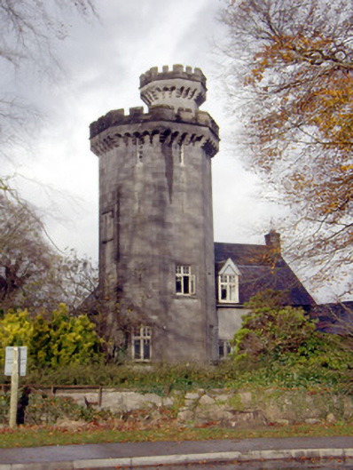 Roche Castlehouse · 489 yd
 Bridge in DerryknockaneBridge · 1038 yd
 Castle FieldCastle, unclassified · 1.3 mi
 CastleCastle, unclassified · 1.6 mi
 Sailors HaggardMemorial · 4.3 mi
 Fountain SculptureHeritage attraction · 5.4 mi
 Visitor CentreVisitor information · 5.5 mi
 Campus MapVisitor information · 5.5 mi
 Grass IslandIslet · 7.0 mi
 Maiden RockNamed rock · 7.3 mi
Other information
Photo: Credit not shown in the picture search · Rights wording not checked; contact us if this picture should be removed