What is recorded here
Cloghatrida held a twenty-metre embanked ring on a gentle slope, but that shape has vanished into rough pasture. The land keeps no visible scar, only a hidden memory of walls that once stood beside a larger neighbouring enclosure. What was built there is gone, leaving behind a quiet emptiness where human hands once shaped the earth.
In rough pasture, on gentle SSE-facing slope. Monument, depicted on 1841 OS 6-inch map as embanked circular enclosure (diam. c. 20m), has been levelled. No trace of monument evident when inspected. A larger circular enclosure (LI020-109---) is depicted on OS 6-inch map conjoined to N side.
Compiled by: Denis Power
Date of upload: 26 August 2011
The monument record does not grant public access. Check the route and ask the landowner before entering private land.
- What survives
- Recorded monument
Places near here
 Rockfield Towercountry house, demesne walls/gates/railings · 466 yd
 Bawn in StonevilleBawn · 993 yd
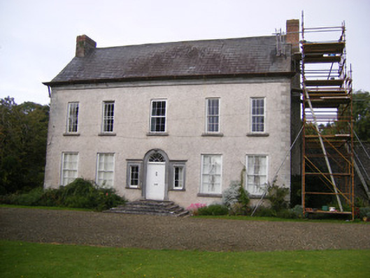 Stonevillecountry house, hunting/fishing lodge · 1003 yd
 Field system in CloghanaroldField system · 1369 yd
 Enclosure in BallingarraneEnclosure · 1414 yd
 Castle MatrixCastle, tower house · 1.1 mi
 TobernablahySpring · 1.5 mi
 St. Kieran's WellSpring · 2.6 mi
 Flat cemetery in CroaghFlat cemetery · 3.0 mi
 European ashEuropean ash · 3.3 mi
 Askeaton CastleHeritage attraction · 4.6 mi
 Little HeavenHeritage attraction · 5.2 mi