What is recorded here
Indicated is a circular cashel-like enclosure in County Galway, Ireland, measuring 53 metres across on flat pastureland. A grassed-over stony bank, one metre wide and 1.5 metres high, defines its perimeter with a possible six-metre entrance gap at the northwest. A castle sits in the southeast quadrant and a dried-up well in the north-northwest sector. The enclosure may be the castle bawn or an earlier cashel adapted for that use.
On flat ground in undulating pastureland. This circular cashel-like enclosure (diam. 53m), in fair
condition, is defined by a grassed-over stony bank (Wth c. 1m, H 1.5m ext.) with a possible entrance gap (Wth c. 6m) at NW. There is a castle (GA105-062001-) in the SE quadrant and a dried-up well in the NNW sector. It is possibly the bawn of the castle or an earlier cashel that was adapted for use as such.
Compiled by: Galway Archaeological Survey, UCG
Date of upload: 19 February 2019
The monument record does not grant public access. Check the route and ask the landowner before entering private land.
- What survives
- Recorded monument
Places near here
 Cloghastookeen Castle (in ruins)Castle, unclassified · 22 yd
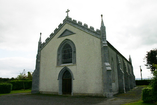 Catholic Church of the Holy Familychurch/chapel · 531 yd
 IndicatedFairy fort / stone ringfort · 647 yd
 Man-made underground passage in Carrowmore (kilconickny Ed )Man-made underground passage · 1033 yd
 Kilconickny Church (in ruins)Church · 1635 yd
 Site of Cloonoo CastleCastle, unclassified · 1.4 mi
 Blake's IslandIslet · 2.8 mi
 Ash IslandIslet · 3.2 mi
 Long PointHeadland · 3.9 mi
 Moyard WoodWood · 4.6 mi
 Turoe StoneHeritage attraction · 4.8 mi
 Kilcornan ForestWood · 8.8 mi