
What is recorded here
Indicated is a ruined circular cashel in Galway marshland, its stone wall buried under grass and shadow. The fort still holds a narrow gap and a hidden underground passage, waiting for someone brave enough to find the door.
In low-lying marshy grassland. Poorly preserved roughly circular cashel (diam. 41m) defined by a grassed-over drystone wall. A field wall overlies the enclosing element from NW through E to SE. From SE through W to NW the monument is obscured by dense overgrowth. A gap at ESE could be original. A linear depression (L 10m; Wth 2.5m; D 0.65m) in the SW quadrant of the interior may possibly be the remains of a Man-made underground passage (GA105-053001-). A ruined rectangular stone structure
abutting the monument at SE is possibly a later feature. (McCaffrey 1952, 254, no. 11)
Compiled by: Galway Archaeological Survey, UCG
Date of upload: 24 January 2017
The monument record does not grant public access. Check the route and ask the landowner before entering private land.
- What survives
- Recorded monument
Places near here
 Cloghastookeen Castle (in ruins)Castle, unclassified · 653 yd
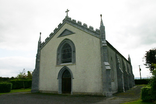 Catholic Church of the Holy Familychurch/chapel · 1044 yd
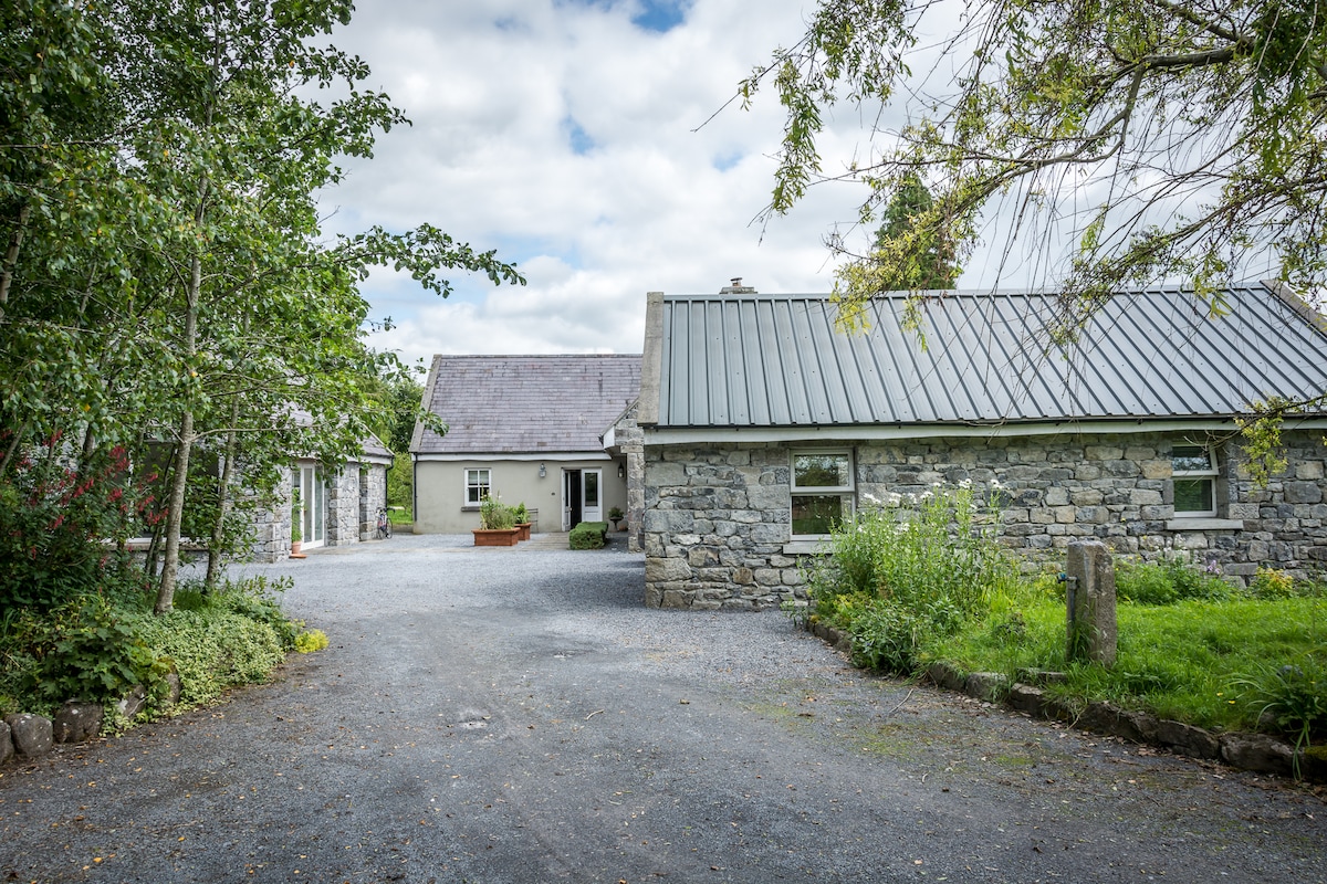 Enclosure in BoherduffEnclosure · 1282 yd
 Ritual siteRitual site, holy tree/bush · 1311 yd
 Church (in ruins)Church · 1404 yd
 CastleCastle, tower house · 1.5 mi
 Blake's IslandIslet · 2.8 mi
 Ash IslandIslet · 3.2 mi
 Long PointHeadland · 4.0 mi
 Moyard WoodWood · 4.8 mi
 Turoe StoneHeritage attraction · 5.2 mi
 Kilcornan ForestWood · 8.7 mi
Other information
Photo: Credit not shown in the picture search · Rights wording not checked; contact us if this picture should be removed