What is recorded here
Indicated is a fairy fort on a south-facing slope in County Offaly, Ireland. Its earthen bank and outer fosse enclose a cobblestone hollow where people may have lived, watched the horizon or avoided the rain. The entrance gap faces east, as if waiting for someone to return before the light fails.
Located on the S facing slope of high ground with good views to the S, E and W. Circular area (diam. 26.5m N-S; diam 32m E-W) enclosed by an earthen bank (Wth 3m; ext. H 2m - 0.5m; int. H 0.5m) and outer fosse (Wth 3m; int. D 1m) with possible entrance gap (Wth 3m) at E. There is a hollow area with cobblestone surface suggestive of habitation in the interior which slopes from N to S.
The above description is derived from the published 'Archaeological Inventory of County Offaly' (Dublin: Stationery Office, 1997). In certain instances the entries have been revised and updated in the light of recent research.
Date of upload: 23 May 2011
The monument record does not grant public access. Check the route and ask the landowner before entering private land.
- What survives
- Recorded monument
Places near here
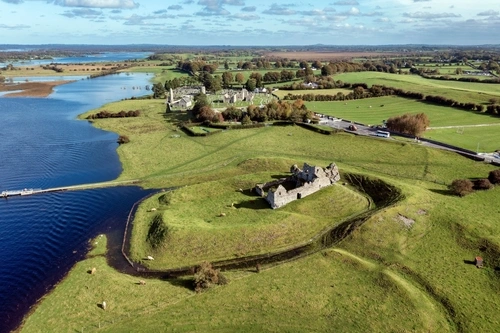 Mound in DroughtvilleMound · 276 yd
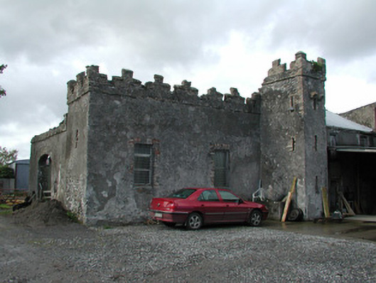 Cloganmore Housefarm house · 566 yd
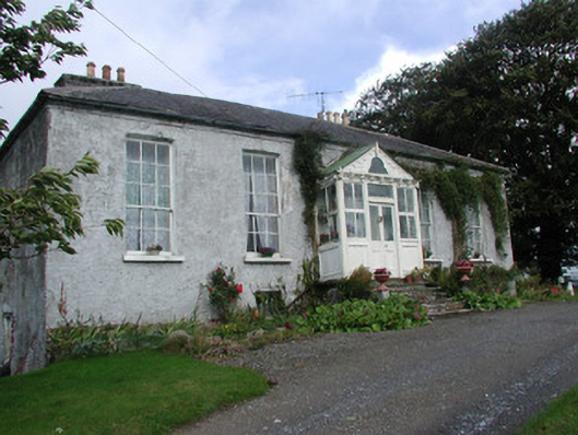 Heath Lodgehouse · 736 yd
 IndicatedBarrow, stepped barrow · 1128 yd
 CastleCastle, tower house · 1741 yd
 Bawn in Annaghmore AND AnnaghbegBawn · 1.0 mi
 Knockbarron WoodForest · 1.3 mi
 Derrykeel WoodWood · 1.9 mi
 Saint Dominick's WellSpring · 2.5 mi
 Waypoint 1Visitor information · 2.6 mi
 Slieve Bloom Mountain Bike TrailVisitor information · 2.7 mi
 Saint Kieran's WellSpring · 3.0 mi