What is recorded here
Situated on a low rise, in pasture. A Man-made underground passage (WM023-048----) lies c. 40m to S. Annotated ‘Clogh Stuckagh’ on 1837 ed. OS 6-inch map and on the revised 1913 ed. OS 25-inch map. Monument described in 1978 as a large upright slab of limestone (H 2.35m; Wth 1.1m; T 0.6m) tapering towards the top, long-axis aligned N-S, with fairly smooth surfaces.
Compiled by Alison McQueen, Vera Rahilly and Caimin O’Brien.
Date of upload: 24 July 2019
Likely dating to the Neolithic or Bronze Age, Clogh Stuckagh may be associated with the nearby passage tomb, suggesting a ritual or funerary context. The name and location imply it could have had ceremonial significance, possibly linked to ancestor veneration or landscape marking.
The monument record does not grant public access. Check the route and ask the landowner before entering private land.
- What survives
- Recorded monument
Places near here
 Saint Owen's Rectoryrectory/glebe/vicarage/curate's house · 820 yd
 Enclosure in ClonybaneEnclosure · 1411 yd
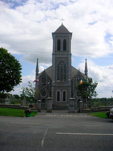 Catholic Church of the Most Holy Redeemerchurch/chapel · 1540 yd
 Mass-rock in HarrystownMass-rock · 1647 yd
 Plary Monastery (in Ruins)Castle, tower house · 1.1 mi
 IndicatedCastle, unclassified · 1.3 mi
 Corran IslandIslet · 1.8 mi
 Japanese pagoda treeJapanese pagoda tree · 3.1 mi
 KnockastiaMountain / peak · 3.5 mi
 Sam's ParkForest · 4.0 mi
 Noughaval CemeteryArchaeological place · 4.9 mi
 Killinure BayBay · 8.4 mi