
What is recorded here
Indicated is a forgotten fairy fort in County Cavan, an oval of earth and shadow that never appeared on official maps. Its steep internal slope and hidden entrance suggest a place built for privacy or flight, perhaps human and perhaps not. The surrounding fields have swallowed part of its boundary, yet the raised shape remains visible when light strikes it at the right angle.
Not marked on OS 1836 or 1876 eds. Raised oval area (int. dims. 42.2m NNW-SSE; 36.3m ENE-WSW) defined by a scarp with a low earthen bank on its upper edge. From S-W-WNW the perimeter has been modified and incorporated into the field boundary. Original entrance not recognisable. Internal area slopes steeply from ENE-WSW.
The above description is derived from the published 'Archaeological Inventory of County Cavan' (Dublin: Stationery Office, 1995). In certain instances the entries have been revised and updated in the light of recent research.
Date of upload/revision: 22 December 2008
The monument record does not grant public access. Check the route and ask the landowner before entering private land.
- What survives
- Recorded monument
Places near here
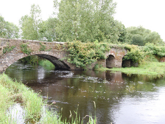 Cloggy Bridgebridge · 722 yd
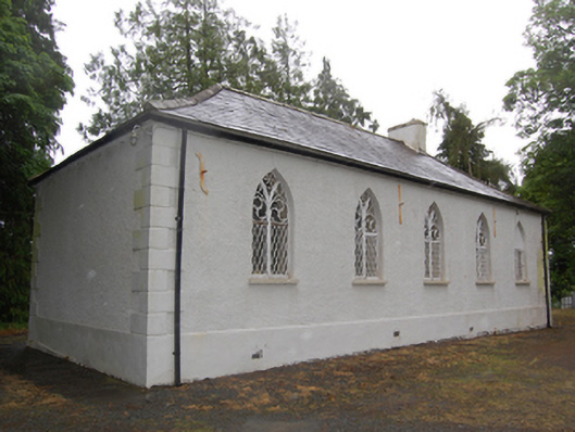 Drumcoghill Church Hallschool · 755 yd
 White Lough ForestForest · 1510 yd
 DrumcarbanMountain / peak · 1658 yd
 Cornafean GFCMemorial · 1712 yd
 Lismore DemesneForest · 1.1 mi
 CloghmoreArchaeological place · 1.4 mi
 LismoreFairy fort / earthen ringfort · 1.5 mi
 Lismore CastleCastle, unclassified · 1.6 mi
 CorrMountain / peak · 1.8 mi
 Red IslandIslet · 1.8 mi
 Castle CosbyCastle, unclassified · 2.6 mi
Other information
Photo: Credit not shown in the picture search · Rights wording not checked; contact us if this picture should be removed