What is recorded here
Clear water still moves through the northern cut, marking the place where the last visible entrance leads onto the grassy hillock. The narrow causeway and steep surrounding scars suggest a small residence built to be seen, defended and remembered. People may have lived there, watched the land or simply claimed a fine spot for themselves.
Situated on a prominent hillock in an undulating landscape. This is a raised rectangular and grass-covered area (dims 27m E-W; 17m N-S) with some bushes defined by a wide fosse or moat (Wth of top 6.5m; int. D 3.6m; ext. D 1.6m) on the N Side and by steep scarps (H c. 3m) on the other sides. The moat at N is crossed by causeway (Wth of top 1m) at the E end. There are some quarries on the grass-covered surface and a N-S scarp down to the W (H 0.3m) crosses the summit.
The above description is derived from the published 'Archaeological Inventory of County Meath' (Dublin: Stationery Office, 1987). In certain instances the entries have been revised and updated in the light of recent research.
Compiled by: Michael Moore
Date of revision: 12 August 2019
The monument record does not grant public access. Check the route and ask the landowner before entering private land.
- What survives
- Recorded monument
Places near here
 IndicatedFairy fort / earthen ringfort · 1386 yd
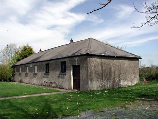 Baconstown National Schoolschool · 1.0 mi
 Wych ElmWych Elm · 1.1 mi
 CastleCastle, motte · 1.6 mi
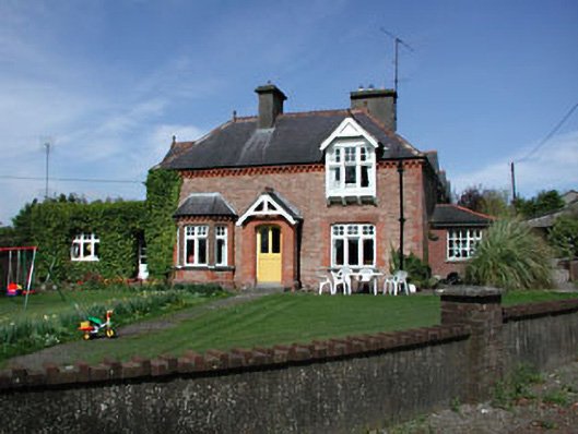 Aghergate lodge · 1.8 mi
 Enclosure in RathtroaneEnclosure · 1.8 mi
 Cloncurry MoatCastle, motte · 2.9 mi
 Cloncurry GraveyardHeritage attraction · 3.0 mi
 Old Bog Road made famous by Teresa Bryton 1868-1943Memorial · 3.0 mi
 European ashEuropean ash · 3.2 mi
 Kilgar GardensHeritage attraction · 4.3 mi
 Mass was there in Penal TimesMemorial · 7.2 mi