What is recorded here
Fairy fort / earthen ringfort in Clare is a fairy fort or earthen ringfort in Clare, County Westmeath, Ireland. Described in 1971 and 1977, this bivallate monument is a roughly circular area enclosed by a very low inner bank, a shallow intervening fosse, and a low outer bank that has been disturbed in several places. A causewayed entrance gap at the southeast measures 1.7 metres wide at the top and 3.6 metres at the base, while the gap itself is 3.1 metres wide at the top and 1.7 metres at the base. The site sits on a slight rise in gently undulating wet pasture with good views to the southeast, and its interior has a gentle southeast-facing slope with no visible features.
Situated on a slight rise, in gently undulating wet pasture, with good views to SE. Bivallate ringfort described in 1971 and 1977 as a roughly circular-shaped area enclosed by a bank, an intervening fosse and an outer bank with causewayed (Wth at top 1.7m; Wth at base 3.6m; H 0.2m) entrance gap (Wth at top 3.1m; Wth at base 1.7m) at SE. The inner bank is very low and the fosse is shallow. The fosse and low outer bank have been disturbed in several places. The interior has a gentle SE-facing slope and no features are visible.
Compiled by Alison McQueen, Vera Rahilly and Caimin O’Brien.
Date of upload: 19 August 2019
The monument record does not grant public access. Check the route and ask the landowner before entering private land.
- What survives
- Recorded monument
Places near here
 Hut site in ClareHut site · 631 yd
 Bawn in ClareBawn · 860 yd
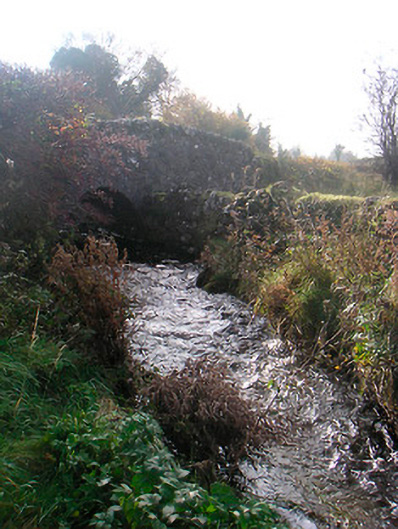 bridgebridge · 1596 yd
 OutlinedWater mill, unclassified · 1702 yd
 Bishopstown Castle in ruinsCastle, unclassified · 1.3 mi
 Japanese pagoda treeJapanese pagoda tree · 1.7 mi
 Sam's ParkForest · 1.8 mi
 KnockastiaMountain / peak · 2.1 mi
 Hill of UisneachMountain / peak · 3.3 mi
 Dún na Sí Heritage CentreMuseum · 6.2 mi
 Noughaval CemeteryArchaeological place · 7.0 mi