
What is recorded here
Marked 'Children's Burial Ground' only on the 1923 ed. of the OS 6-inch map, and situated in woodland on a steep NW-facing slope overlooking the N-S Glenmore stream at a point where it turns W. This is a rectangular area (dims. 18m E-W; 14m N-S) defined by a field bank at N and E, and by a low stone bank (Wth 2m; H 0.5m) at S and W. Some stones in the interior may be grave-markers.
The above description is derived from the published 'Archaeological Inventory of County Waterford' (Dublin: Stationery Office, 1999). In certain instances the entries have been revised and updated in the light of recent research.
Date of upload: 03 August 2010
The monument record does not grant public access. Check the route and ask the landowner before entering private land.
- What survives
- Recorded monument
Places near here
 Man-made underground passage in BallysaggartmoreMan-made underground passage · 1616 yd
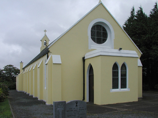 Saint Mary's Catholic Churchchurch/chapel · 1.0 mi
 Ballysaggartmore Housemausoleum · 1.2 mi
 Ballysaggartmore TowersHeritage attraction · 1.4 mi
 Burial Gd.Enclosure · 1.5 mi
 IndicatedCastle, unclassified · 2.3 mi
 Glenshask WoodsWood · 2.7 mi
 KnockadullaunMountain / peak · 2.7 mi
 Lismore Castlefarm house · 2.9 mi
 Cottage IslandIslet · 2.9 mi
 Red MapleRed Maple · 3.0 mi
 LismoreMemorial · 3.1 mi
Other information
Photo: Credit not shown in the picture search · Rights wording not checked; contact us if this picture should be removed