
What is recorded here
Situated towards the top of a SW-facing slope with extensive views over the valley of the W-E River Blackwater, c. 1.2km to the S. There is local knowledge of an underground chamber found c. 1980 which was backfilled, but is visible now as a bare patch in pasture.
Compiled by: Michael Moore
Date of upload: 18 February 2011
The monument record does not grant public access. Check the route and ask the landowner before entering private land.
- What survives
- Recorded monument
Places near here
 Ballysaggartmore Housemausoleum · 568 yd
 Ballysaggartmore TowersHeritage attraction · 1569 yd
 Cill Columcille (Site of)Enclosure · 1616 yd
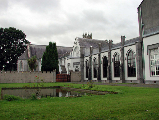 Saint Mary's Abbeyhouse · 1.0 mi
 Holy well in Ballyvecane LowerHoly well · 1.1 mi
 Lismore Castlefarm house · 2.3 mi
 Cottage IslandIslet · 2.4 mi
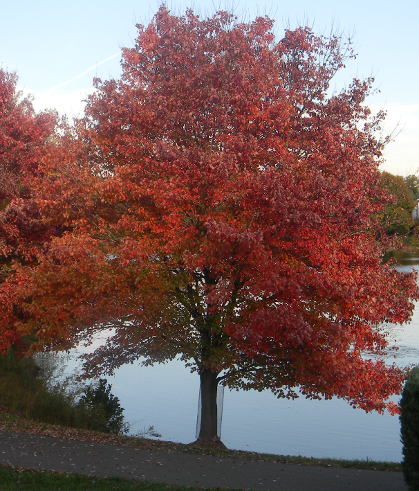 Red MapleRed Maple · 2.5 mi
 European ashEuropean ash · 2.5 mi
 Tallow HillMountain / peak · 3.0 mi
 KnockadullaunMountain / peak · 3.3 mi
 Lisfinny CastleCastle · 3.7 mi
Other information
Photo: Credit not shown in the picture search · Rights wording not checked; contact us if this picture should be removed