What is recorded here
Fairy forts are human ringforts misnamed, and Churchtown holds one in open pasture. Its circular earthwork still stands about thirty metres across, marked by a low scarped edge and a shallow external ditch. Field boundaries now cut across the top, and livestock graze the undulating interior, yet the original shape remains clear enough to walk around and measure.
In pasture, on slight W-facing slope. Circular area (29.9m N-S; 27.4m E-W) defined by a scarped edge (H 0.7m; Wth 1.1m), with external fosse (D 0.4m; Wth 1.9m) NW->SW. Enclosing element is partially levelled SW->NW, and debris from this levelling is dumped on scarp at NW and SW. A field boundary runs along top of scarp NW->SW; other field boundaries abut this at NW, NW, SE and SW. Interior surface is undulating, dry and under pasture.
Compiled by: Denis Power
Date of upload: 26 August 2011
The monument record does not grant public access. Check the route and ask the landowner before entering private land.
- What survives
- Recorded monument
Places near here
 Churchtown Housecountry house · 674 yd
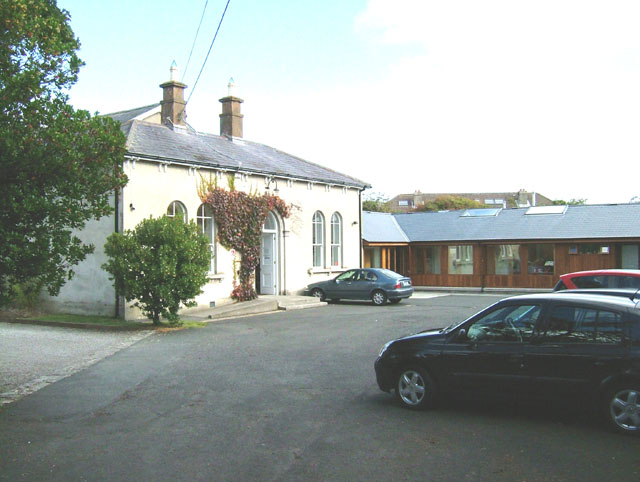 Enclosure in ChurchtownEnclosure · 1070 yd
 bridgebridge · 1080 yd
 Enclosure in Castle DemesneEnclosure · 1540 yd
 Templars Castle (in ruins)Castle, Anglo-Norman masonry castle · 1.4 mi
 Limerick GreenwayWalking route · 2.9 mi
 CahermoyleCastle, unclassified · 2.9 mi
 St. Luke's WellSpring · 3.1 mi
 St. Kieran's WellSpring · 4.3 mi
 Sugar HillMountain / peak · 4.4 mi
 European ashEuropean ash · 5.1 mi
 Ballagh MountainMountain / peak · 7.1 mi