What is recorded here
Armorial plaque in Churchtown is an armorial plaque in Churchtown, County Waterford, Ireland. The 17th or early 18th-century limestone marker stands 0.82 metres above ground in the northern section of the Dysert church graveyard. It measures 0.65 metres wide and 0.12 metres thick, and it remains embedded upright within the Davin family grave plot on the south bank of the River Suir.
Situated on the S bank of the River Suir. A 17th/early 18th-century limestone armorial plaque (H 0.82m above ground; Wth 0.65m; T 0.12m), embedded upright in the Davin family grave plot in the northern section of the graveyard (WA003-001002-) of Dysert church (WA003-001001).
Compiled by: Jean Farrelly
Date of upload: 06 March 2013
The monument record does not grant public access. Check the route and ask the landowner before entering private land.
- What survives
- Recorded monument
Places near here
 Maurice DavinMemorial · 3 yd
 Grave YardGraveyard · 59 yd
 Site of ChurchChurch · 81 yd
 Dysart HouseOfficially recorded historic building · 513 yd
 Ballydine Ho.Castle, unclassified · 629 yd
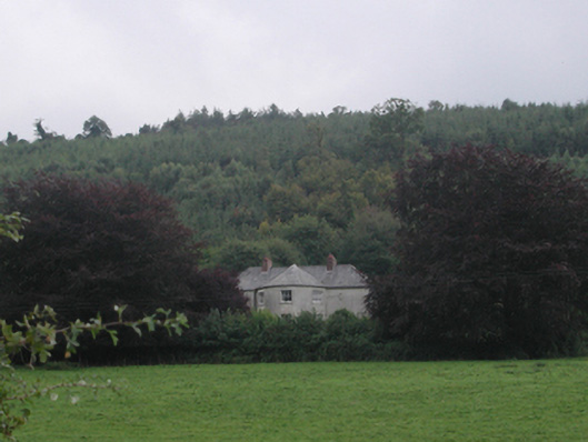 Churchtown Househouse · 1144 yd
 Churchtown WoodForest · 1296 yd
 Glen Castle (in ruins)Castle, tower house · 1538 yd
 Coolnamuck Wood WestForest · 1.5 mi
 CarrigcoumMountain / peak · 1.9 mi
 Thomas KielyMemorial · 2.2 mi
 CarrigeenseebohillaMountain / peak · 3.4 mi