What is recorded here
Situated on a slight rise in the floodplain of the NW-SE Blackwater River, with a N-S section of the stream c. 230m to the W. The church of Teltown is mentioned in an early 12th century poem where the legendary Mac Erc is amongst its patrons (Gwynn 1924, L 157-60). The church was burnt by Dermot Mac Murrough in 1170 (Mulvany 1971, 15) but the church is not listed in the ecclesiastical taxation (1302-06) of Pope Nicholas IV (Cal. doc. Ire. 5, 260). Ussher describes a church at Tellan as a chapel-of-ease to Donnaghpatrick but the church and chancel were ruined (Erlington 1847-64, 1, xc). According to Dopping’s Visitation (1682-5) the parish church was dedicated to St. Barnabas but had been a ruin for 40 years and it was not enclosed (Ellison 1973, 8).
The church survives largely as foundations and it is undifferentiated (ext. dims 15.2m E-W; 6.25m N-S), although traces of a cross-wall may separate the nave (int. dims 7.3m E-W; 4.9m N-S) from the chancel. The W wall (L 6.25m; max. H 3m) and adjacent part of the N wall (L 4m; T 0.7m; max. H 2.5m) survives with no architectural features other than two putlog-holes. The architectural fragments in the graveyard suggest a building period possibly in the late twelfth century (Gosling 2016a).
The church is within a rectangular graveyard (dims c. 53m E-W; c. 43m N-S) defined by earthen banks with external stone-facing, entered through a gate at N. Within the graveyard is a damaged cross-base (dims of base 0.55m x 0.4m plus; dims of top 0.35m x 0.25m plus; H 0.37m). Nearby is a broken headstone (dims 0.7m; H 0.4m) with a cross (H 0.35m; span c. 0.35m) inscribed on the W face with expanded terminals. These were first identified by Eogan (2006, 19-24), who also records a piece of rock outcrop (dims c. 0.7m x c. 0.5m; H o.4m) with rock-art consisting of two concentric incised lines (ext. diam. c. 0.2m) picked with lines (Wth c. 1.2cm). There are some dressed stones from the church in the graveyard, and there is local knowledge of two areas of collapse having occurred NW of the graveyard, which could have been from a Man-made underground passage.
A possible ecclesiastical enclosure is suggested as a ghost feature by the medieval roadway (ME017) curving around the graveyard N-SE at a distance of c. 40-60m from the graveyard wall (Gosling 2016, 72, fig. 7).
The above description is derived from the published 'Archaeological Inventory of County Meath' (Dublin: Stationery Office, 1987). In certain instances the entries have been revised and updated in the light of recent research.
Compiled by: Michael Moore
Date of amended revision: 15 April, 2019
The church at Tailtin (Teltown) was likely founded in the early medieval period, possibly by a local Gaelic lordship, and is associated with the legendary figure Mac Erc. It is mentioned in an early 12th-century poem and may have had religious or ceremonial significance due to its location on a prominent site.
The monument record does not grant public access. Check the route and ask the landowner before entering private land.
- What survives
- Recorded monument
Places near here
 Ecclesiastical enclosure in TailtinEcclesiastical enclosure · 15 yd
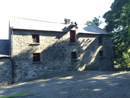 Martry Millmill (water) · 792 yd
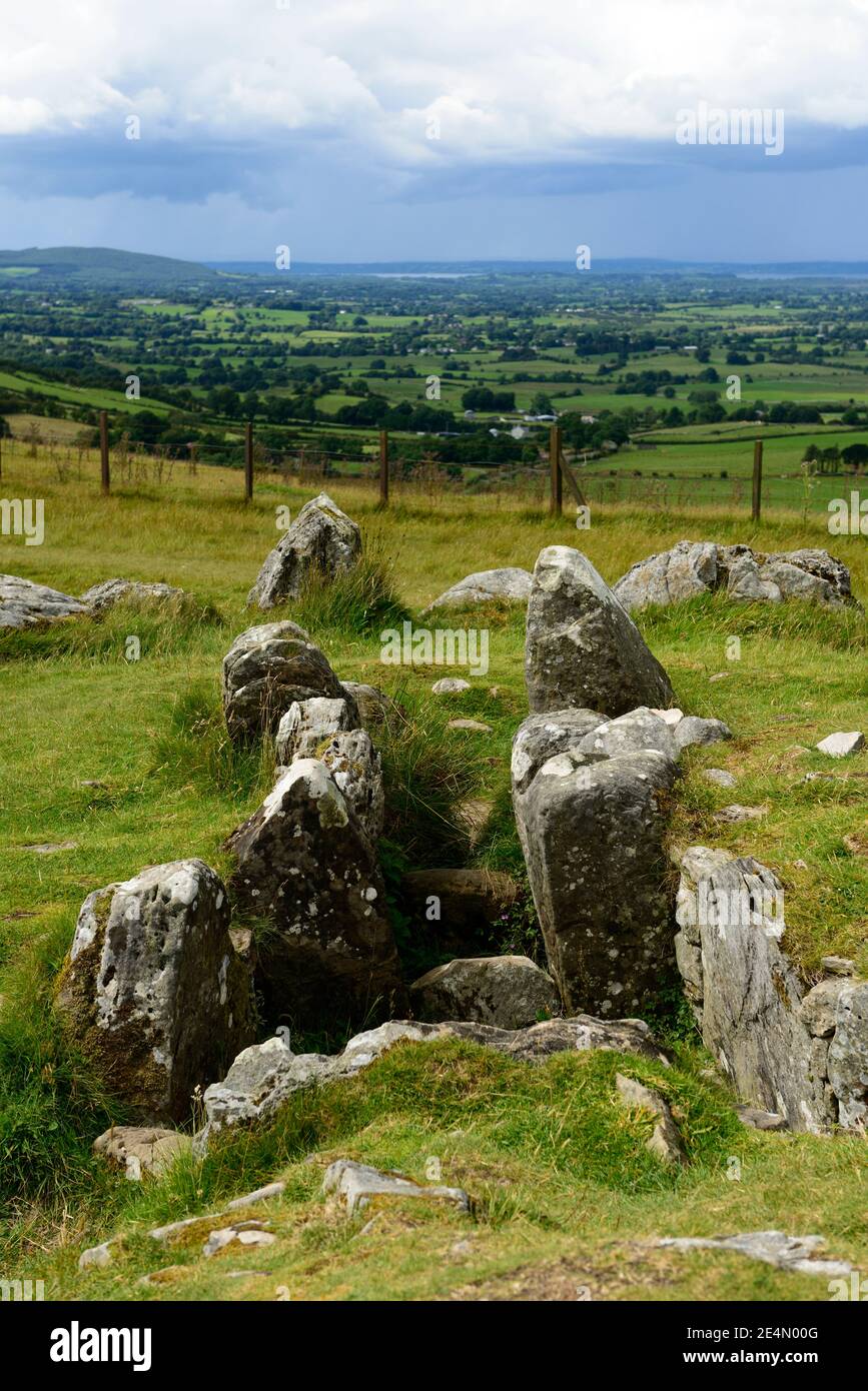 Ritual siteRitual site, pond · 1192 yd
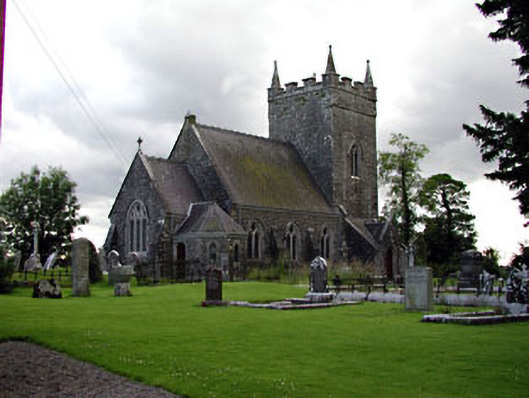 Saint Patrick's Church (Donaghpatrick)church/chapel · 1586 yd
 Gibbstown House EntranceWood · 1.2 mi
 TuliptreeTuliptree · 1.3 mi
 CastleCastle, unclassified · 1.9 mi
 BallybegMountain / peak · 2.0 mi
 Clongill CastleCastle, tower house · 2.3 mi
 Faughan HillMountain / peak · 2.3 mi
 The New Line RoadMemorial · 3.4 mi
 Saint John's CemeteryMemorial · 4.2 mi